Before the Snow Falls- Winter Hiking in Park County
By: Katelyn Parker
Park County in Northwestern Wyoming is world renowned for its outdoor playground. Outdoor enthusiasts from all over flock to the area to hike, mountain bike, camp, hunt, fish and photograph. In the heart of the Rocky Mountains, the towns that populate Park County are inhabited by people who have a great love for the outdoors and adventure is always calling. Weekends aren’t spent going to the mall and glamorous parties, weekends are spent enjoying the several locations where locals can partake in a variety of outdoor recreation. A popular pastime is hiking any one of the hundreds of trails in the area. In this article we invite you to join us as we explore some of the locations that are touted as local favorites.
Sheep Mountain
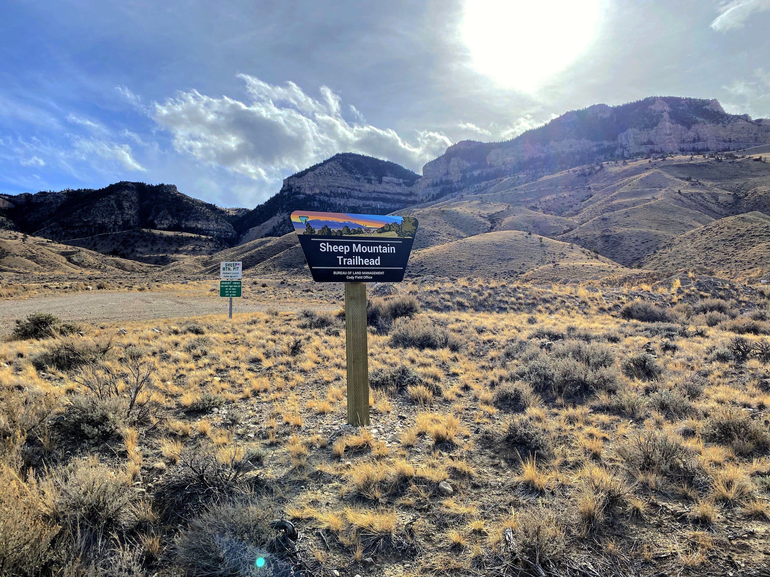
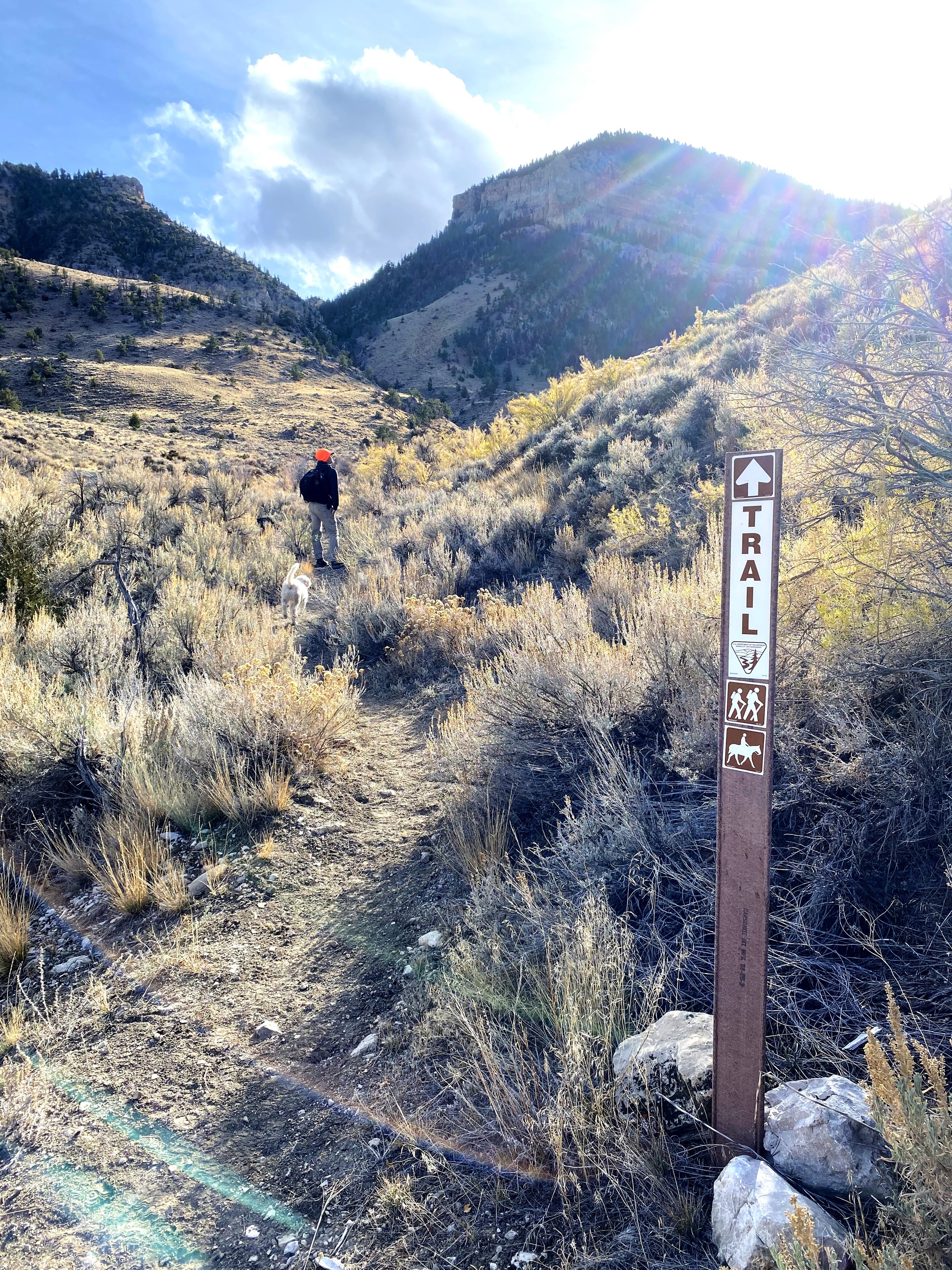
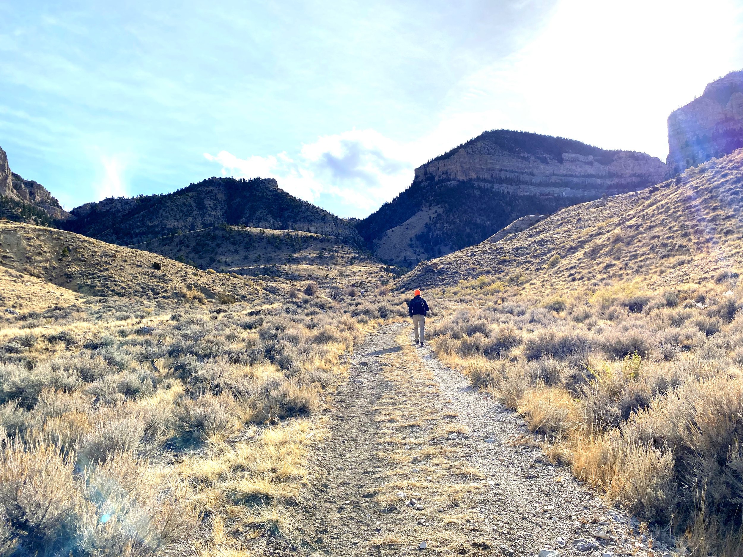
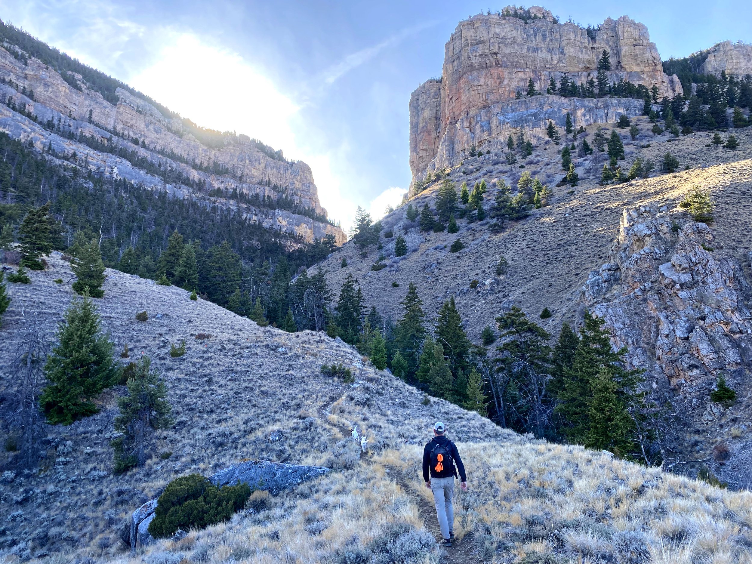
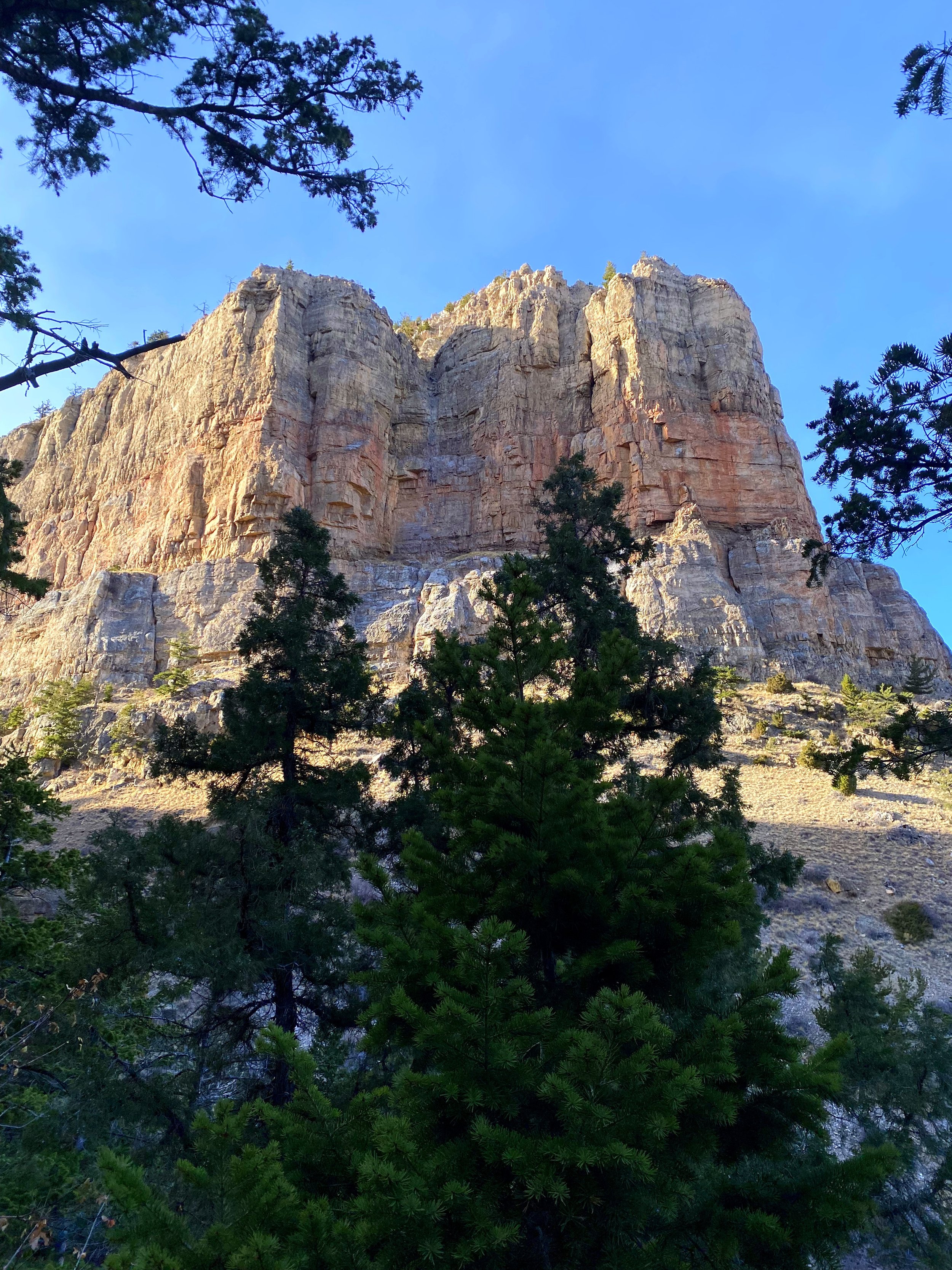
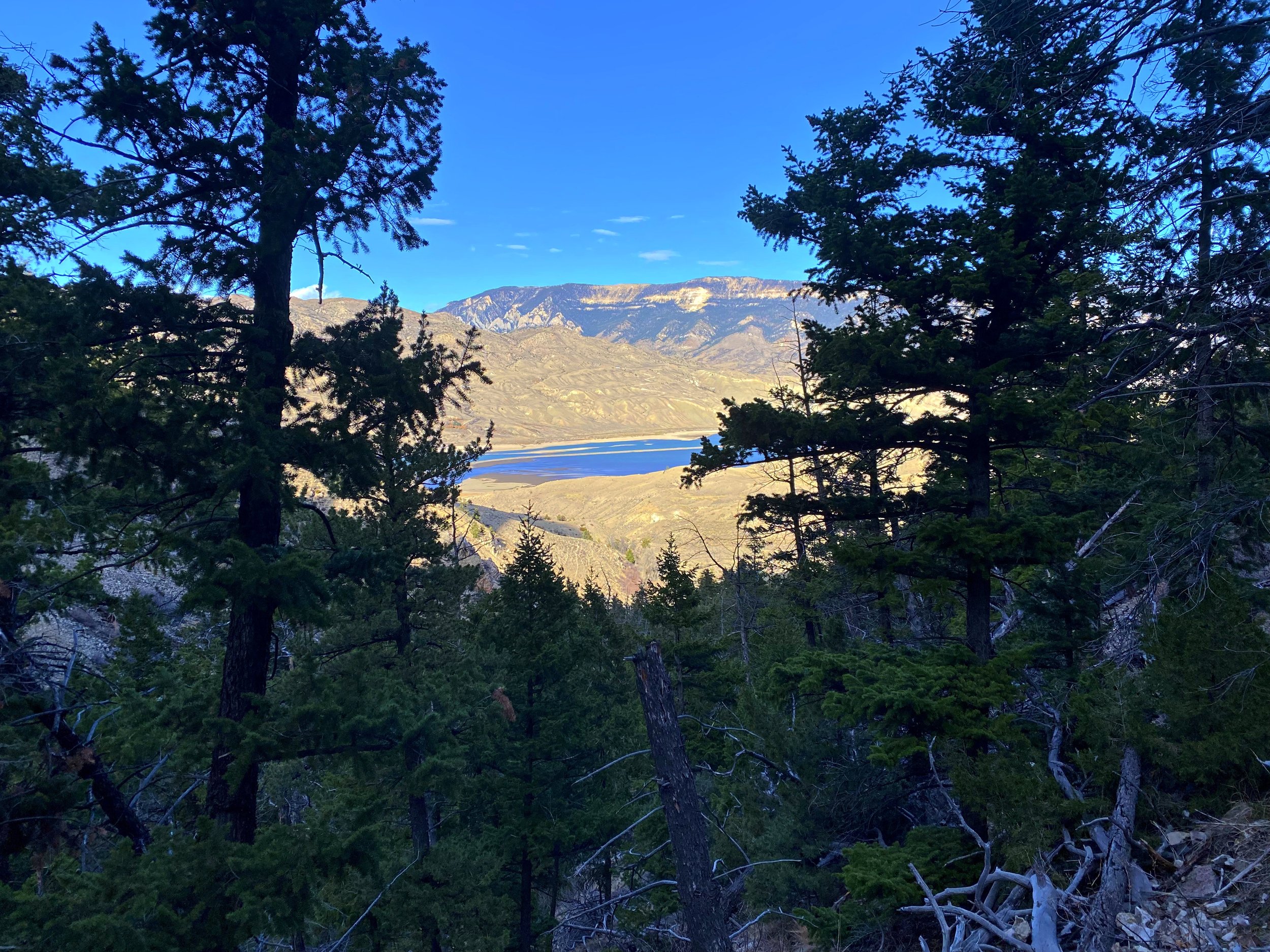
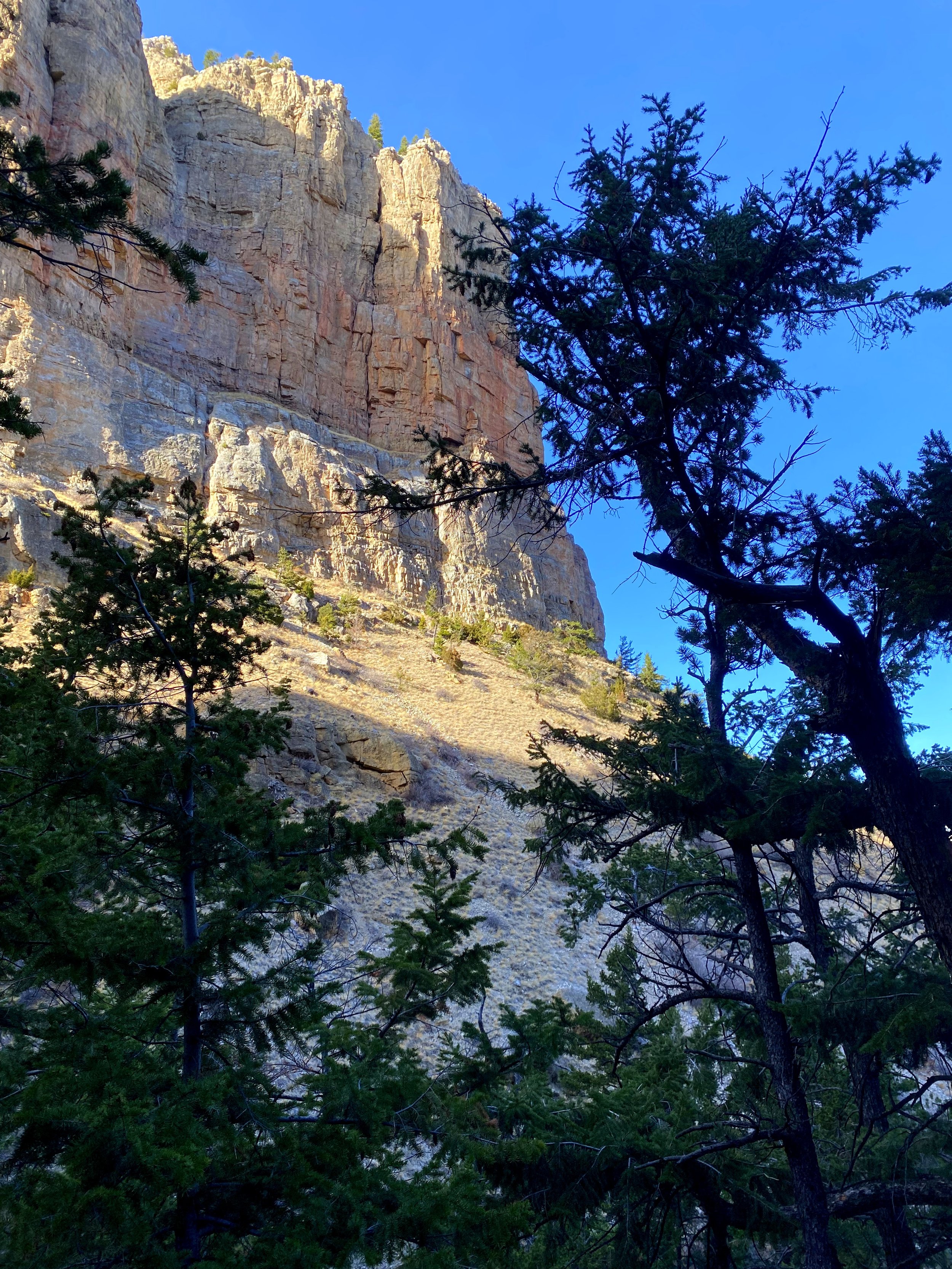
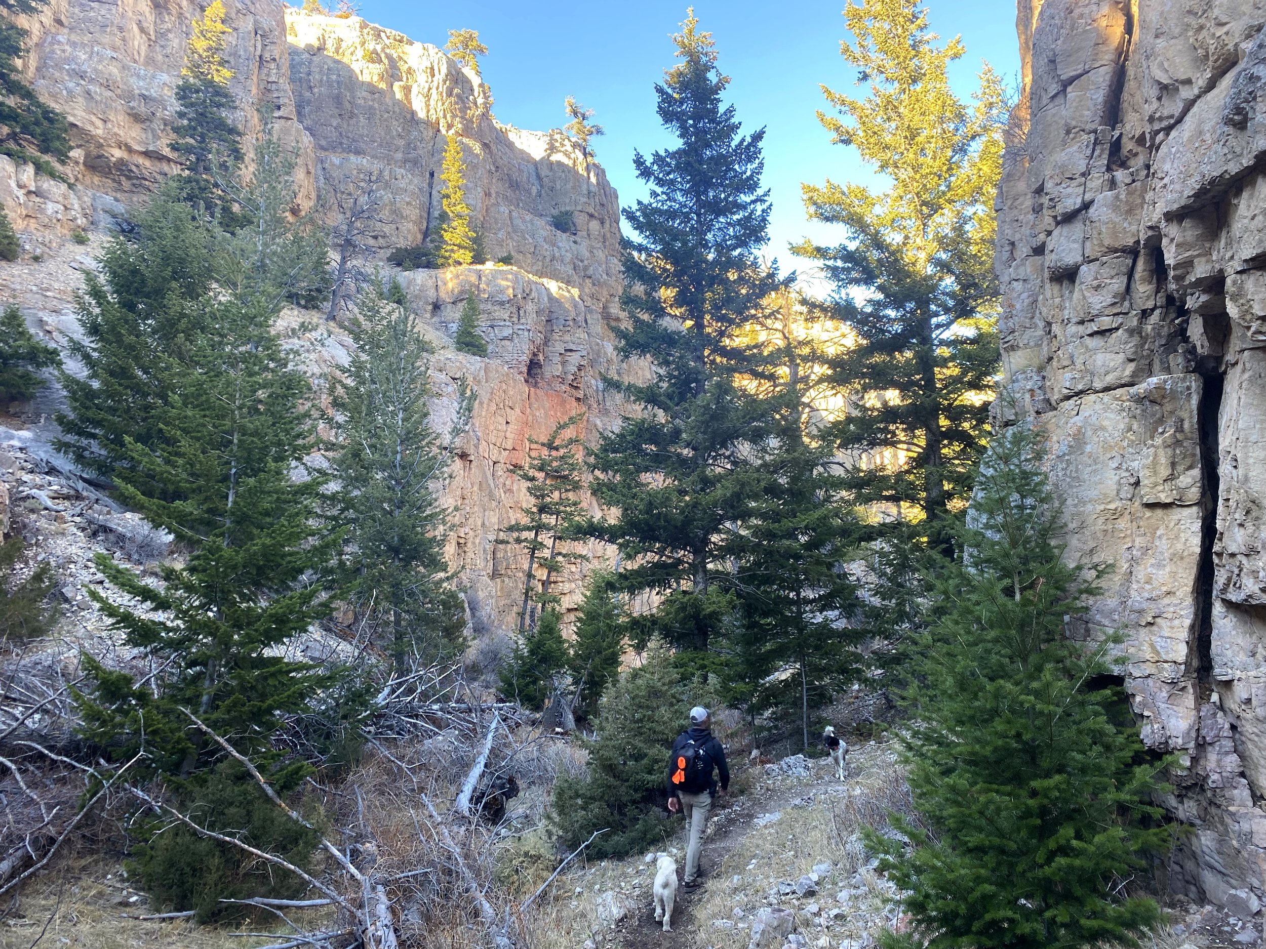
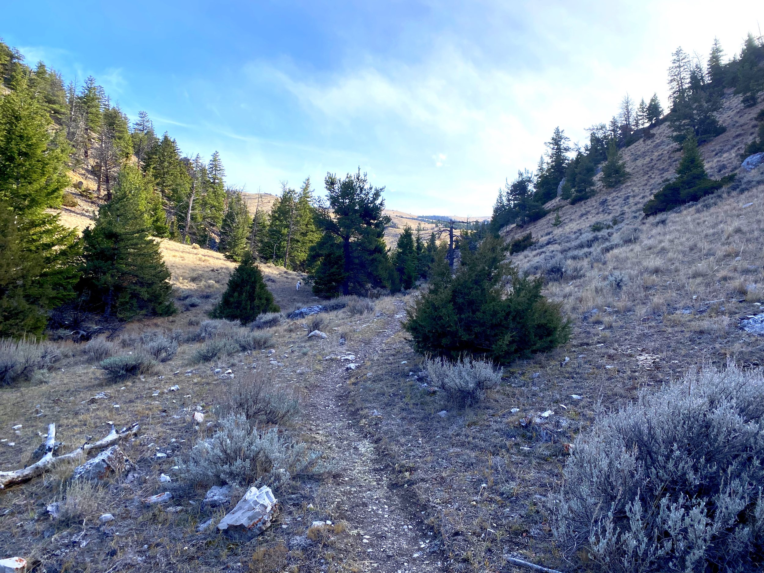
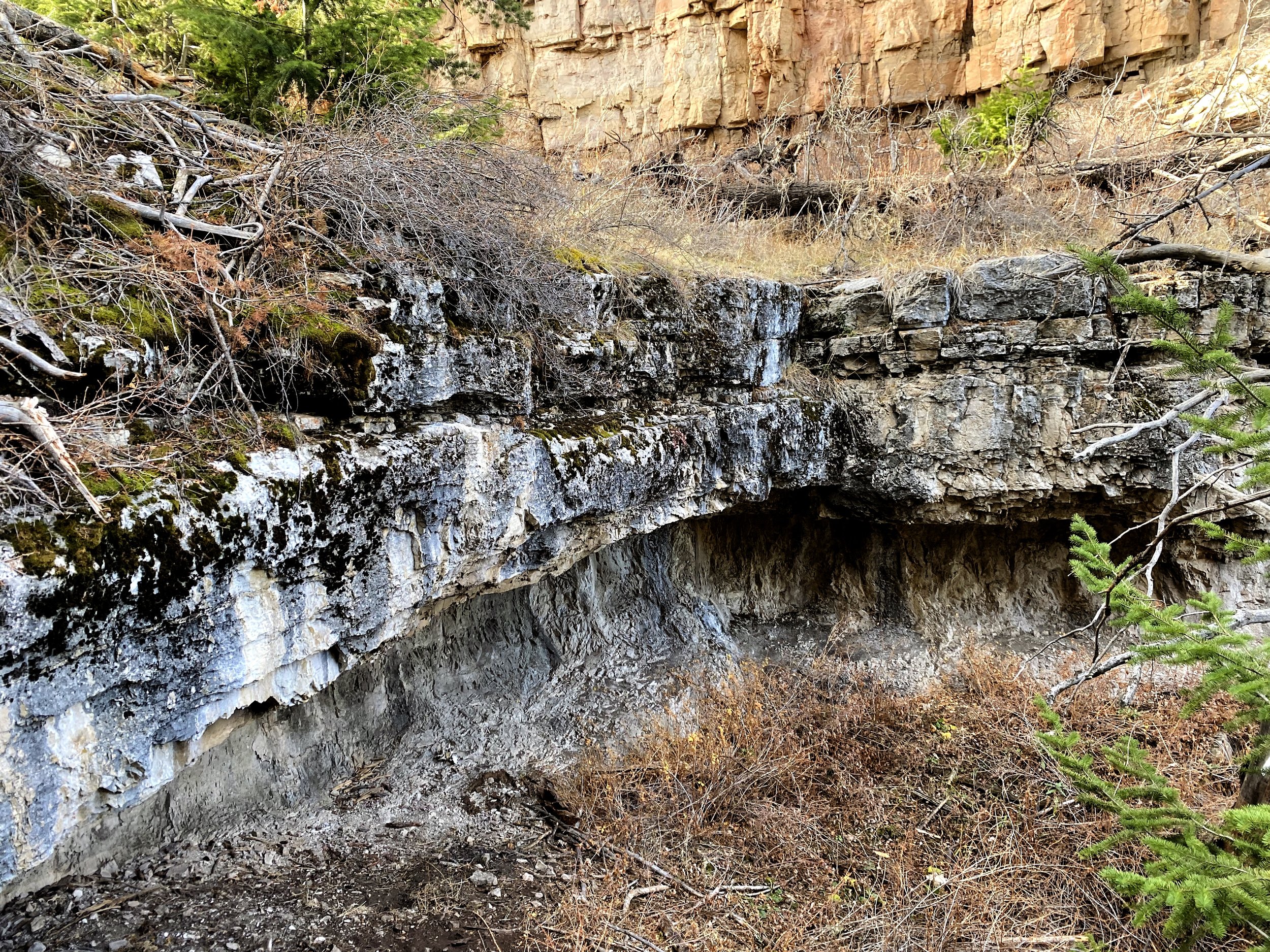
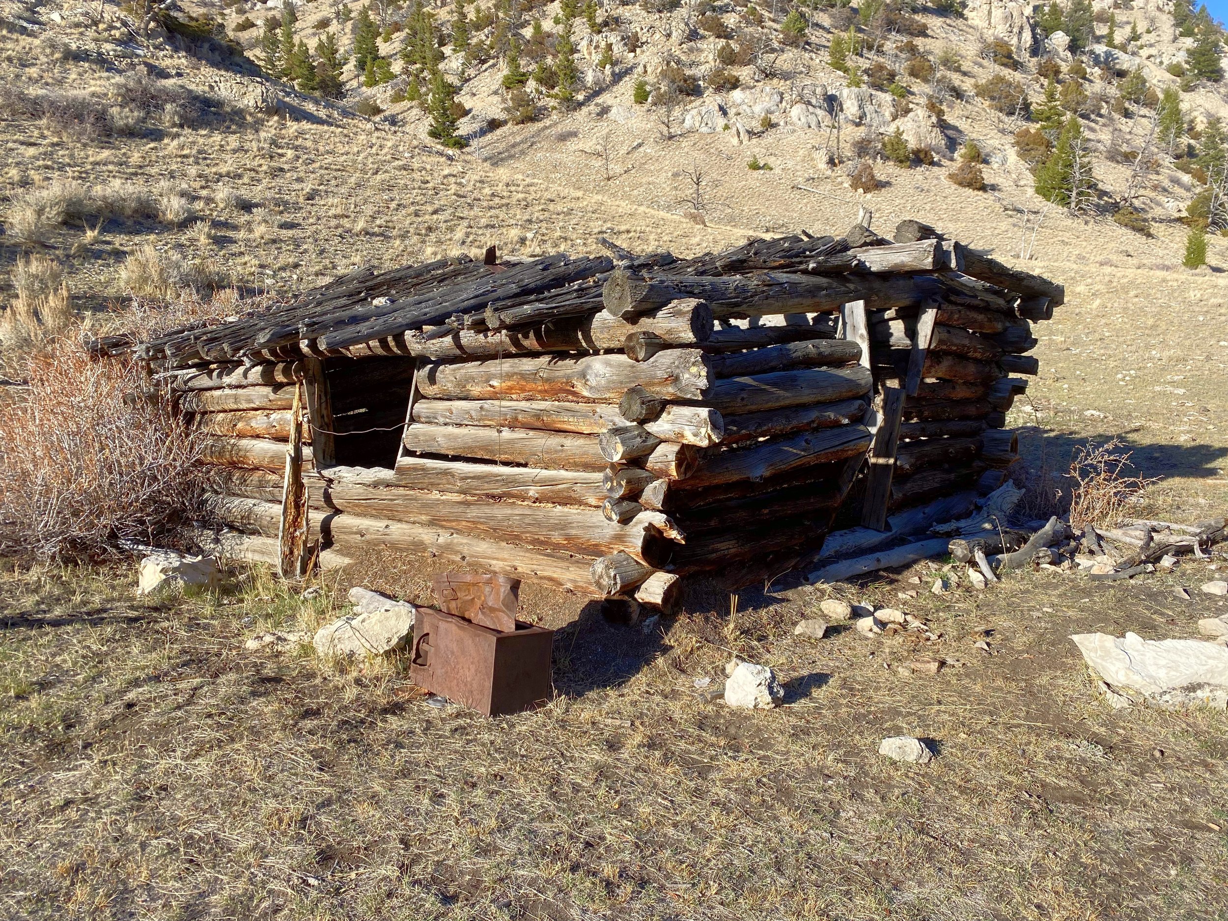
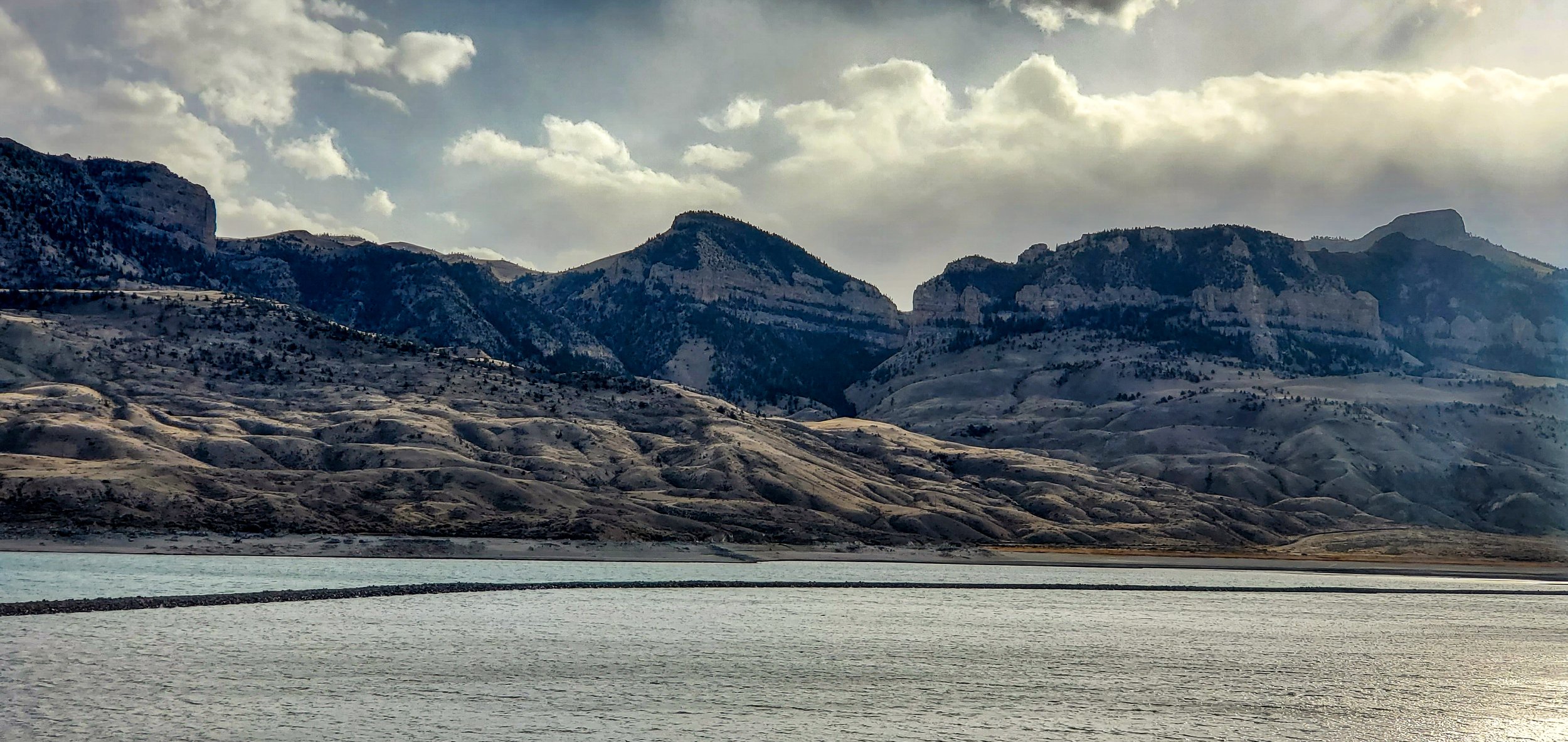
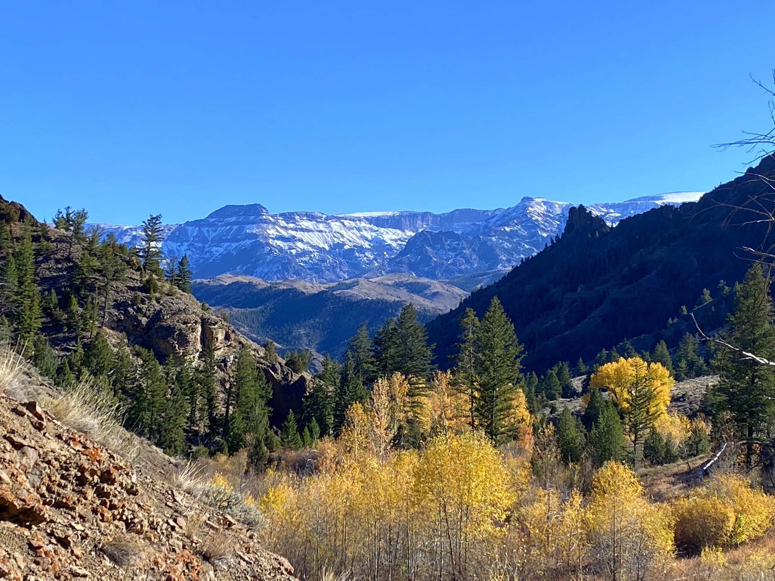
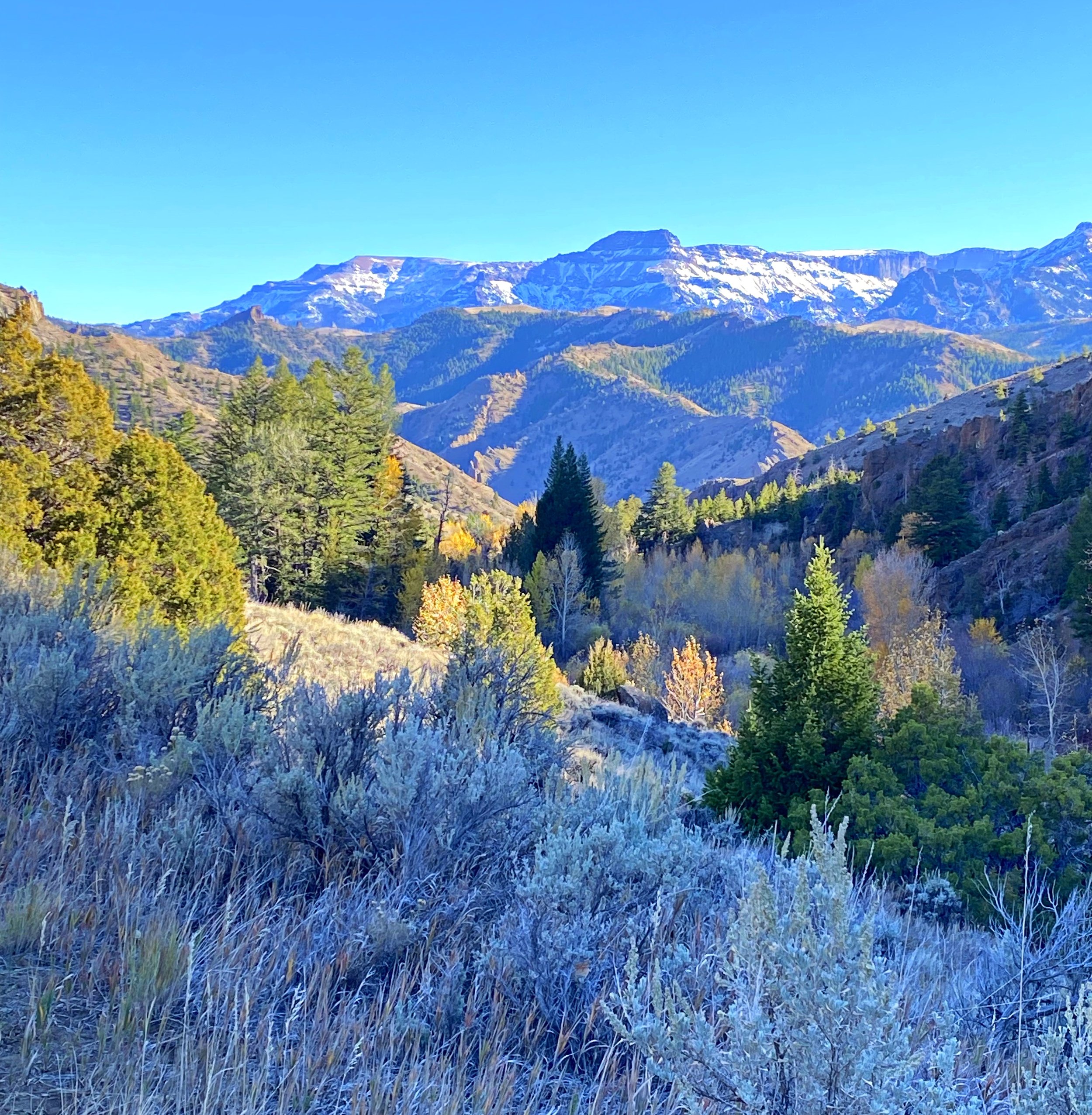
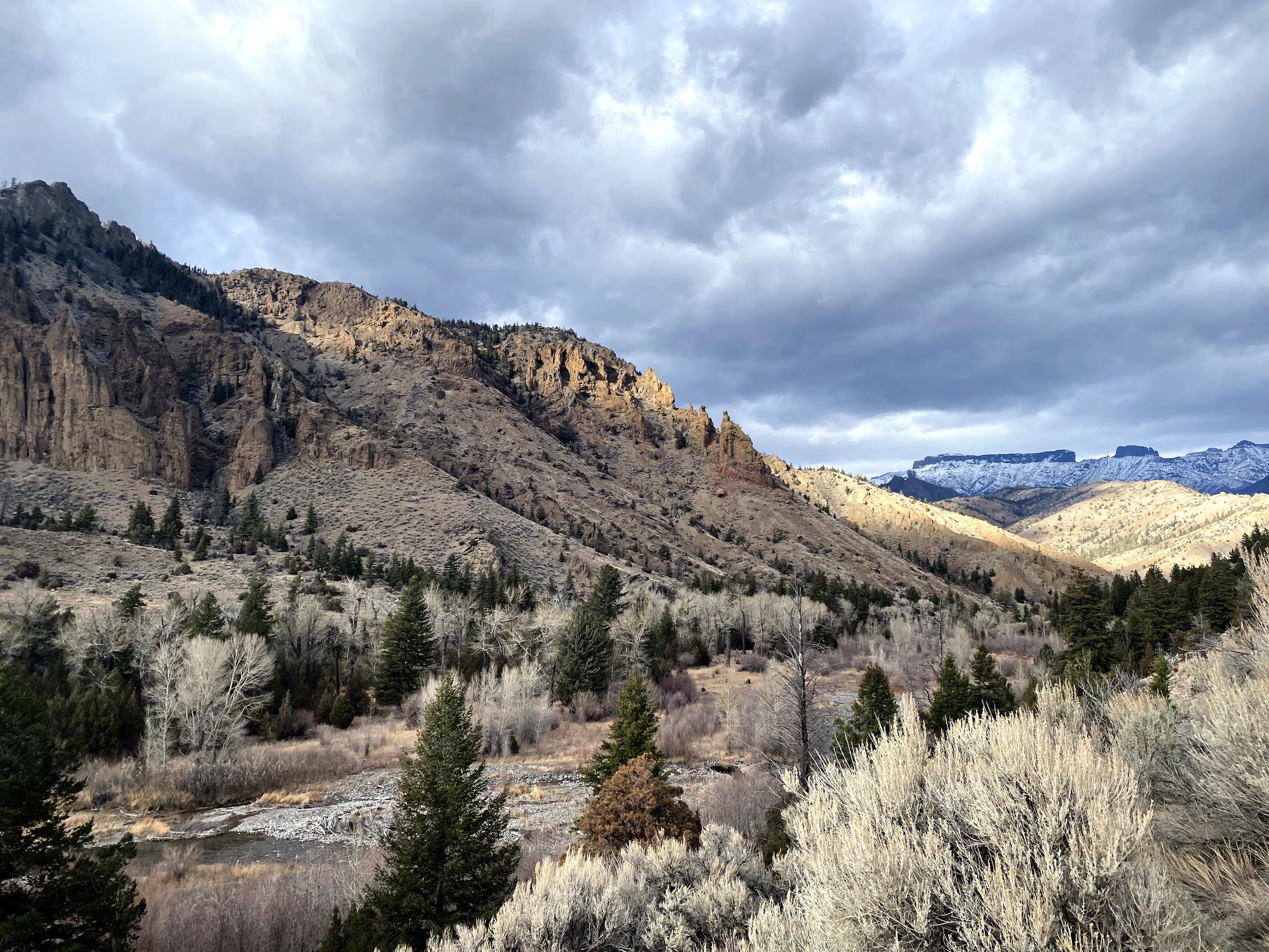
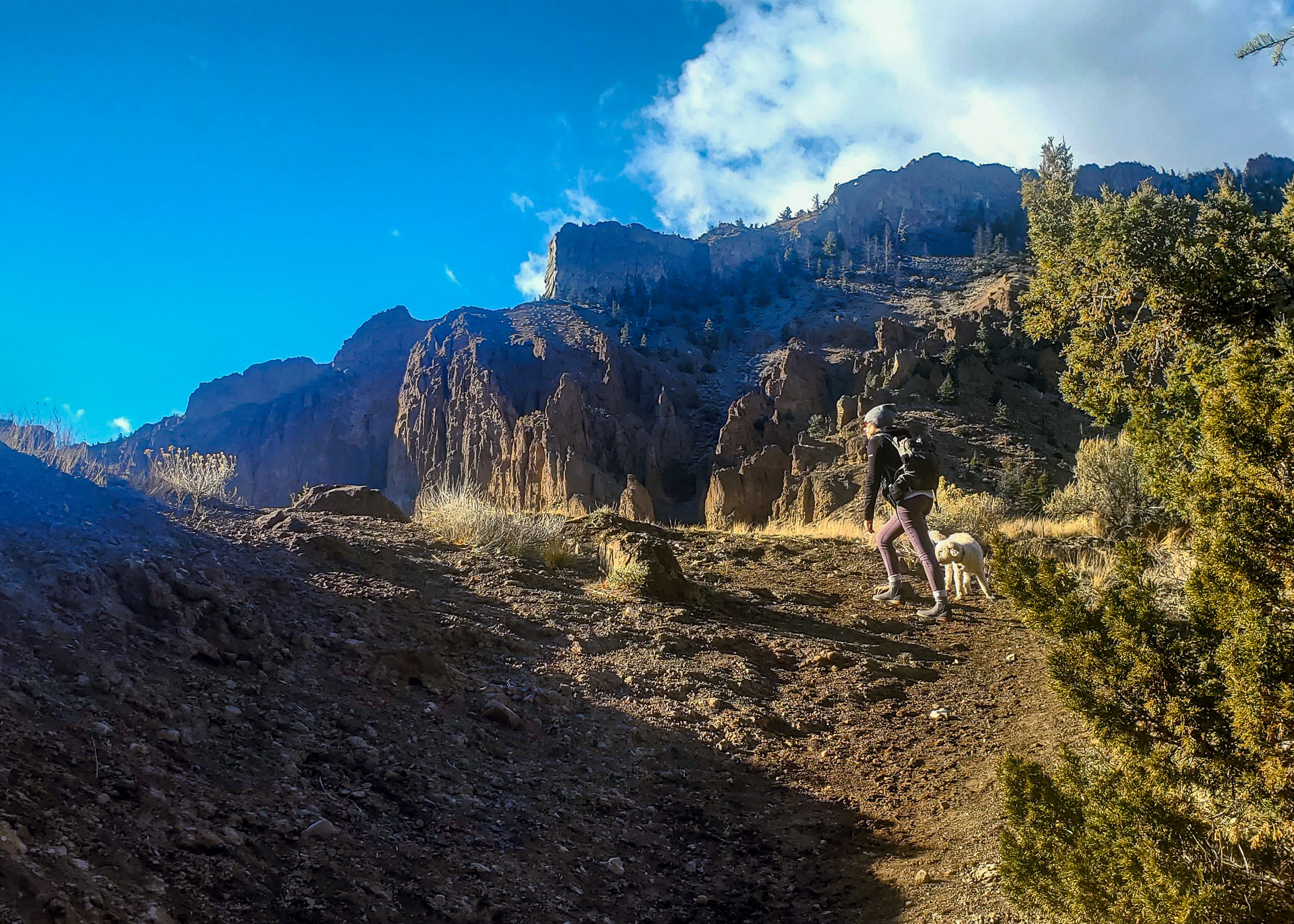
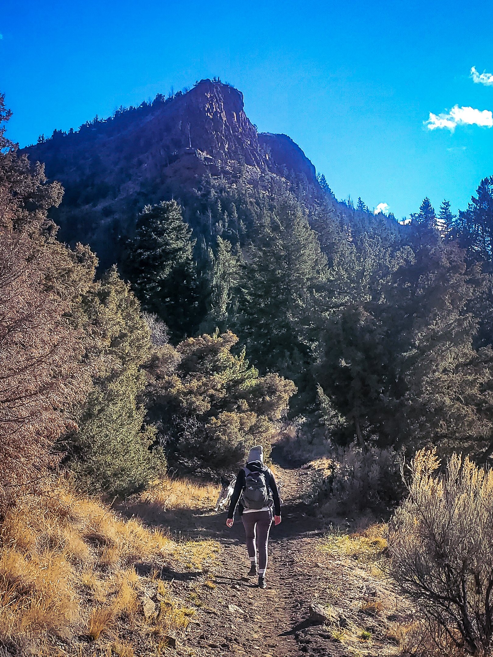
Sheep Mountain is located just a few miles west of town, looking over the Buffalo Bill Reservoir. The hike starts off winding through rolling hills of sagebrush. The incline continues to increase as the trail leads further into the canyon, leaving the sagebrush behind and replacing it with grand pine trees and rock faces. As you gain elevation the view behind you grows more beautiful with every step and the granite cliff faces catch the light and they produce a warm glow as they tower over you as you move through the canyon. After the first mile, the incline levels out a bit and the canyon spits you out into a beautiful meadow. Once you reach the old homesteader cabin you are at the mouth of the loop. The trail gets harder to follow at this point, so navigation is helpful. When you begin your descent back down, make sure to have careful footing as the ground can be loose and steep in several places. The whole loop is 6.5 miles so give yourself plenty of time so you don’t run the risk of losing the daylight.
This isn’t a hike for the faint of heart or beginners. In the first mile you gain nearly 2,000 feet in elevation, meaning the grade is very steep. You may want to bring a pair of trekking poles to make the climb a little easier. If you are looking for a hike that will provide a good amount of exercise as well as being visually appealing, this is the hike to take. There is not much water on the trail so be sure you come prepared, packing enough water for yourself and your canine hiking companions. There is a tire trough toward the beginning of the trail, but this is the last chance this time of year for your dogs to get a good drink. Despite the challenges this hike presents, it is fulfilling and rewarding and should be something you experience at least once.
Directions: From Cody, head west on Highway 14 toward the western edge of the reservoir. Towards the end of the reservoir, turn left onto Rd 6KV and take another left onto Stagecoach Trail. After driving a short distance on the dirt road you will see the trailhead sign on your right. There are several places to park depending on the capabilities of your vehicle. If you have high clearance, you can drive all the way to the trailhead.
For more details, directions and trail map access visit AllTrails here.
Wapiti Campground- Sweetwater River Trail
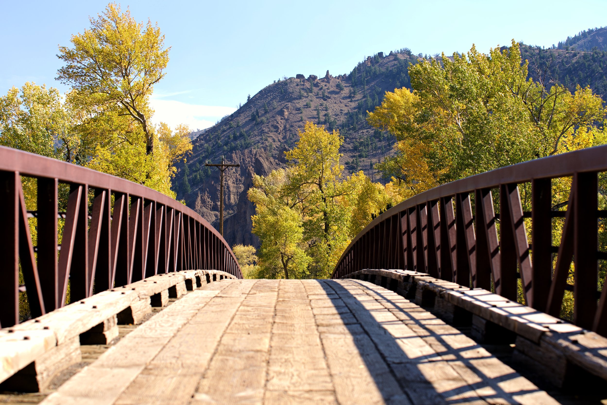
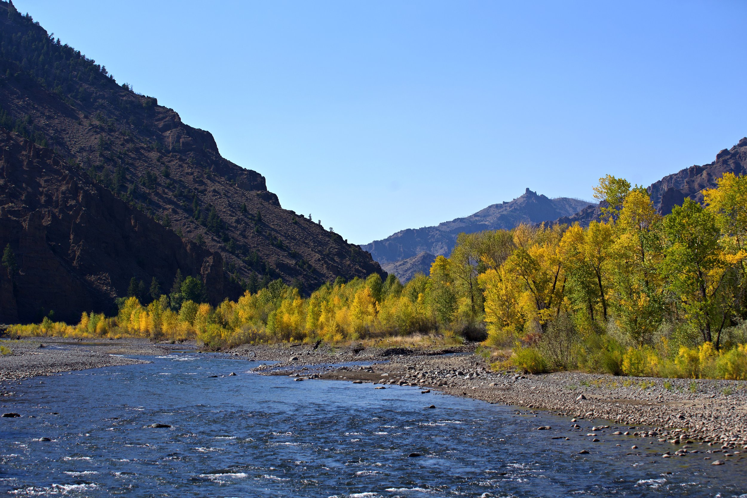
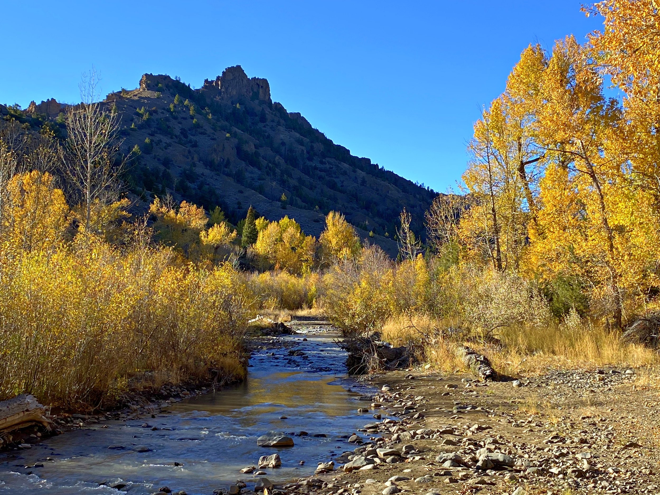
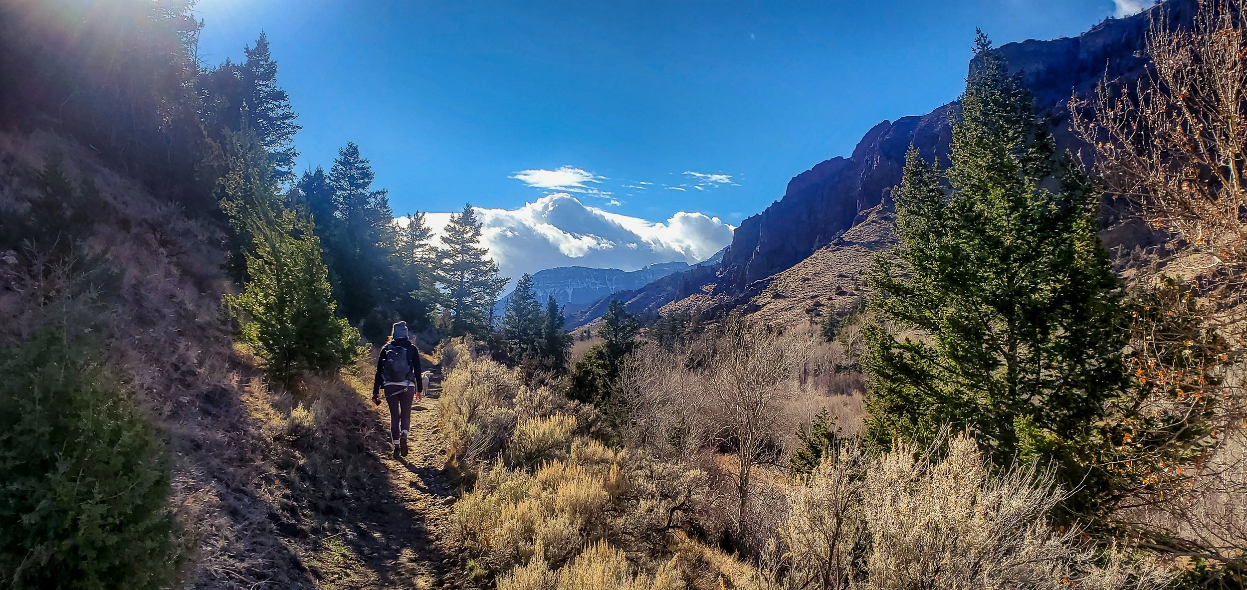
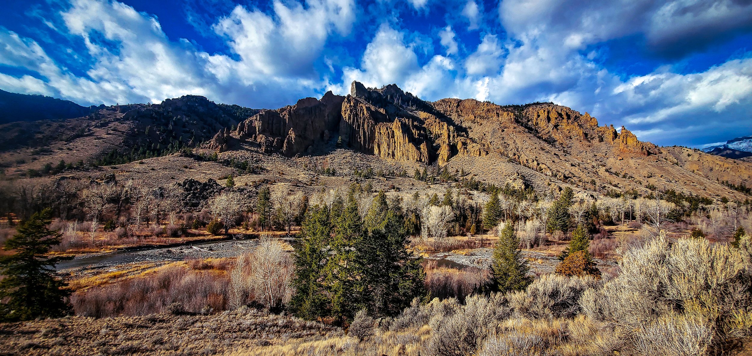
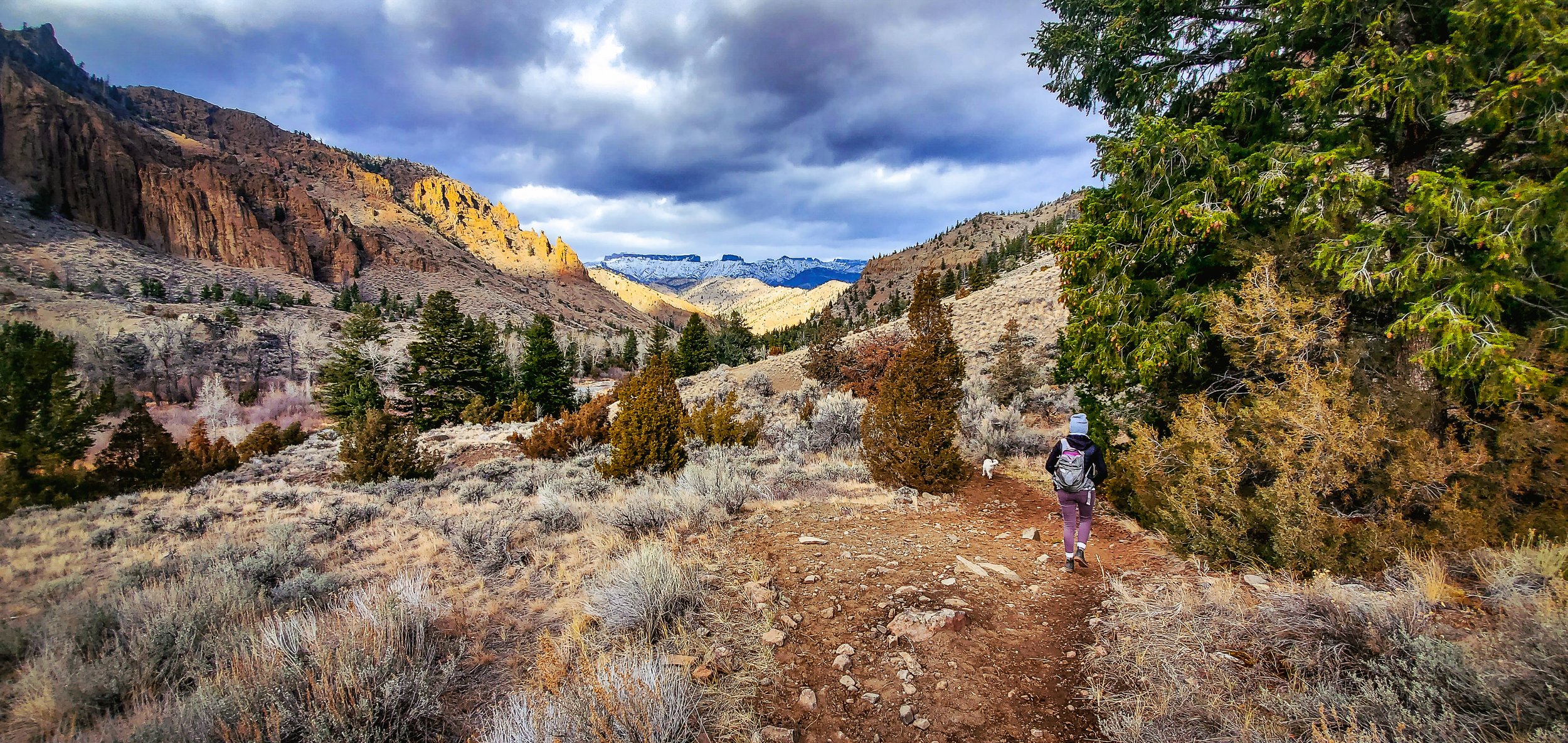
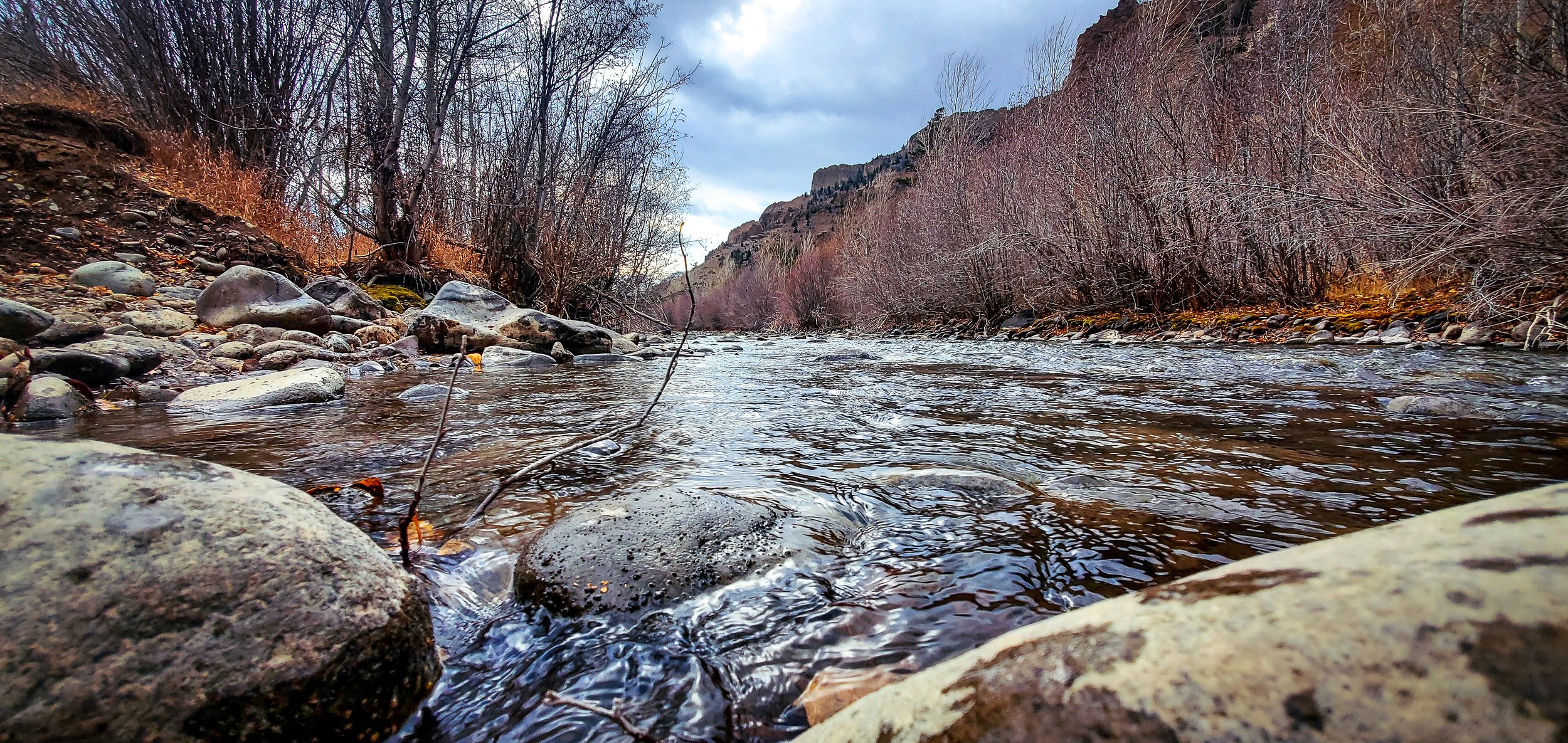
This hike is easy going and fit for all ages. If you are just in the mood for wandering through a beautiful river valley, it doesn’t get much better than this. This is an out and back hike, so you have the freedom to make it as long and hard as you please. The hike begins at Wapiti Campground where you cross the bridge over the Shoshone River. Once over the bridge you continue to follow the dirt road, pushing north through the stunning river valley. The dirt road follows along Sweetwater Creek, winding through the magnificent Absaroka Mountains. If you are using AllTrails to navigate your journey, the trail on the app ends once your reach the first of two creek crossings, however, if you are daring enough to cross, the trail continues for another mile and a half, ending at the Sweetwater Mineral Springs. The creek is mild in current and not too deep or wide to cross easily. Make sure you are wearing proper shoes to ensure you stay dry and comfortable for the duration of your journey.
The whole trail, in and out, is approximately 6 miles on a dirt road and the elevation gain is only 196 feet, so it is pretty easy going. The views are breathtaking, and the experience isn’t one you are likely to forget so gather up the family and get out for a great afternoon of adventure.
Directions: From Cody, head west on Highway 14 for 30 miles. Turn left into Wapiti Campground and continue straight through to angler parking. Once parked you simply head over the bridge and you’re on your way.
For more details, directions and trail map access visit AllTrails here.
Elk Fork- Elk Creek Trail
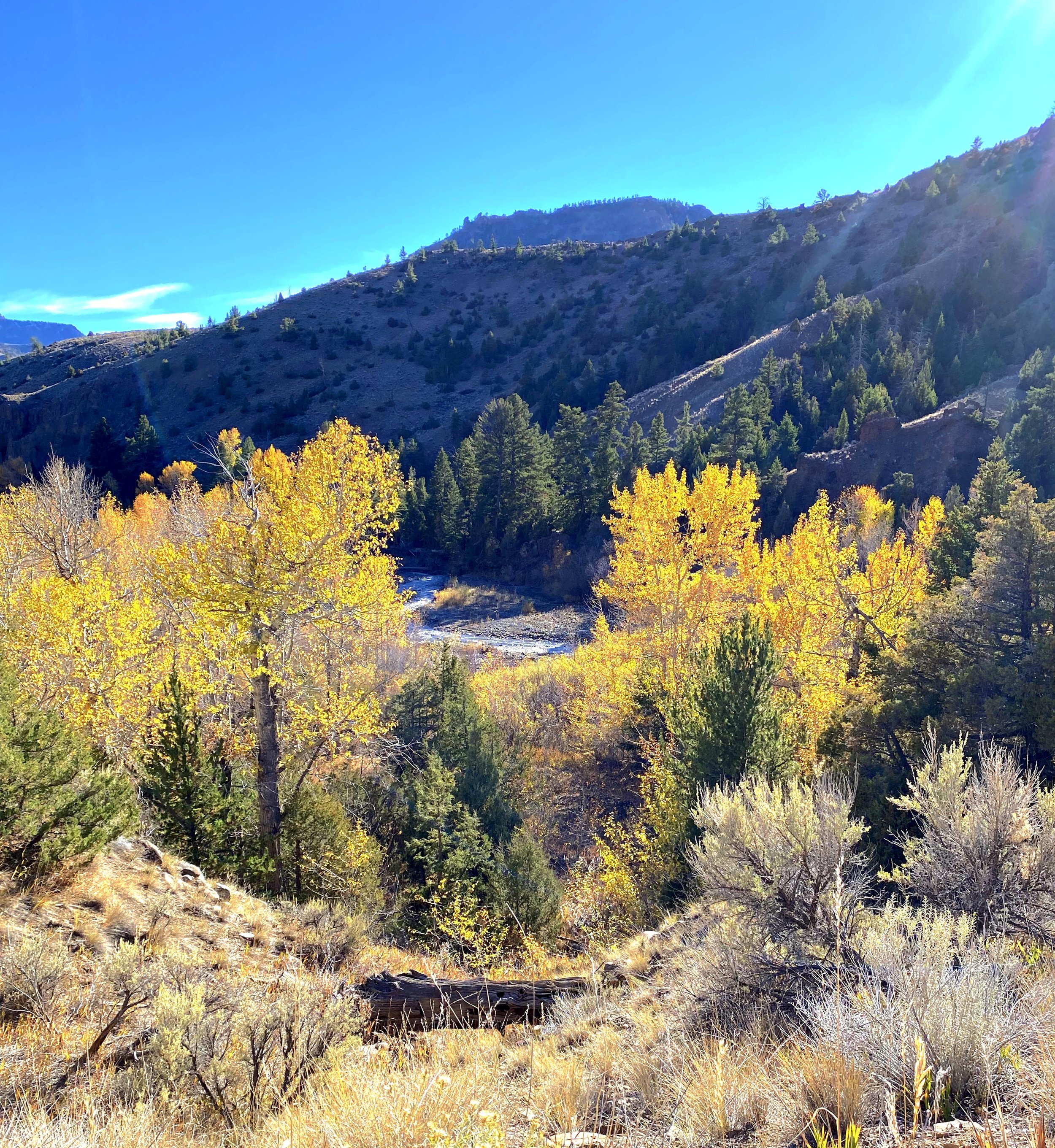
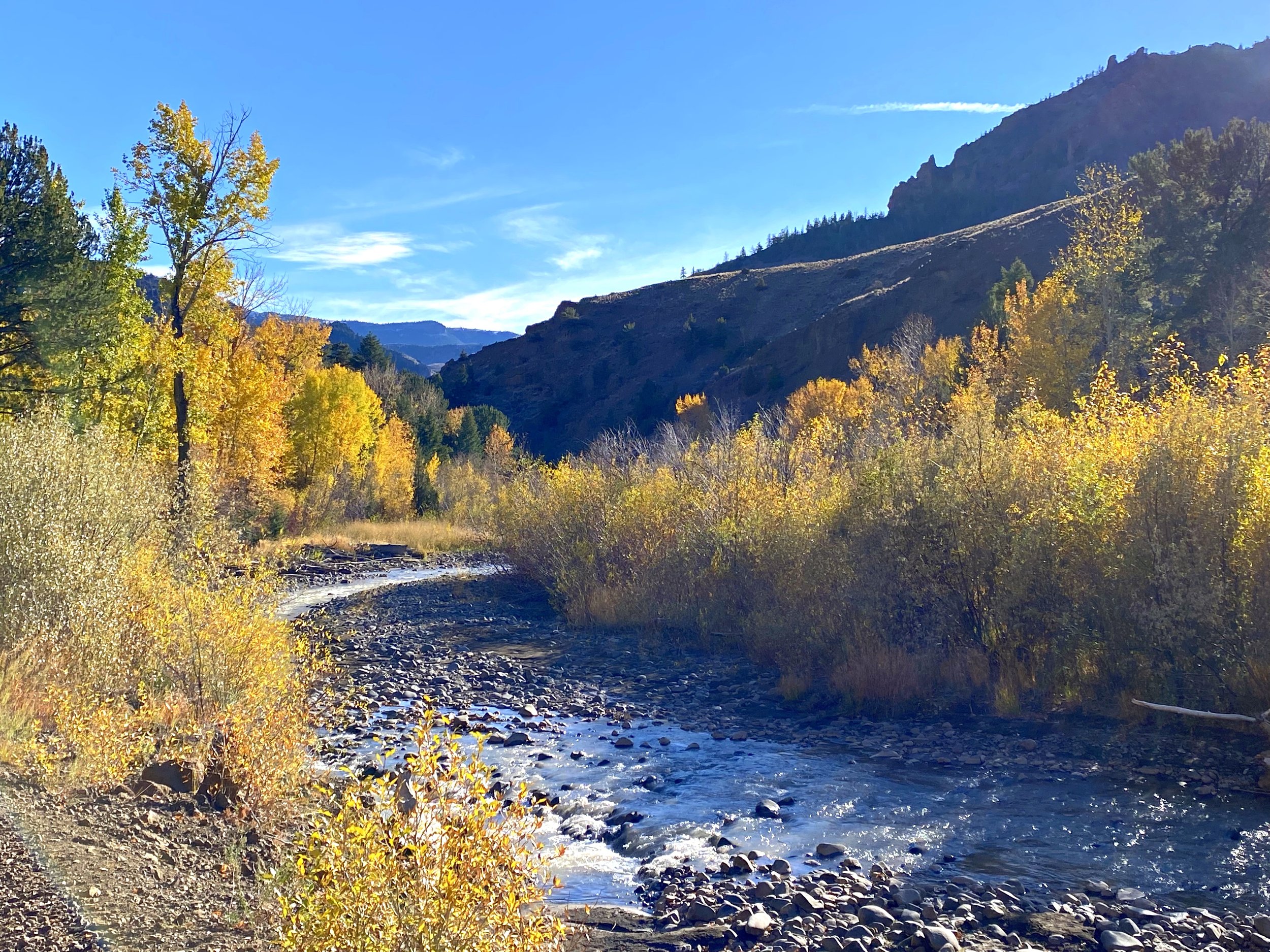
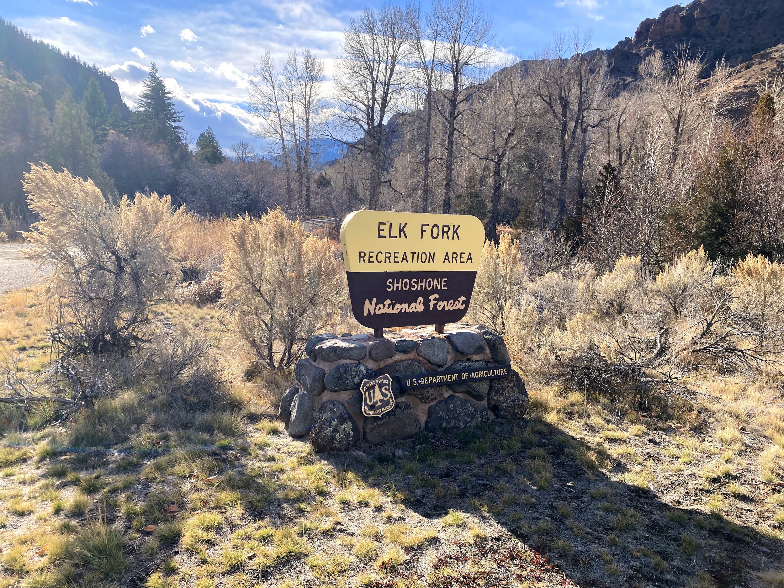
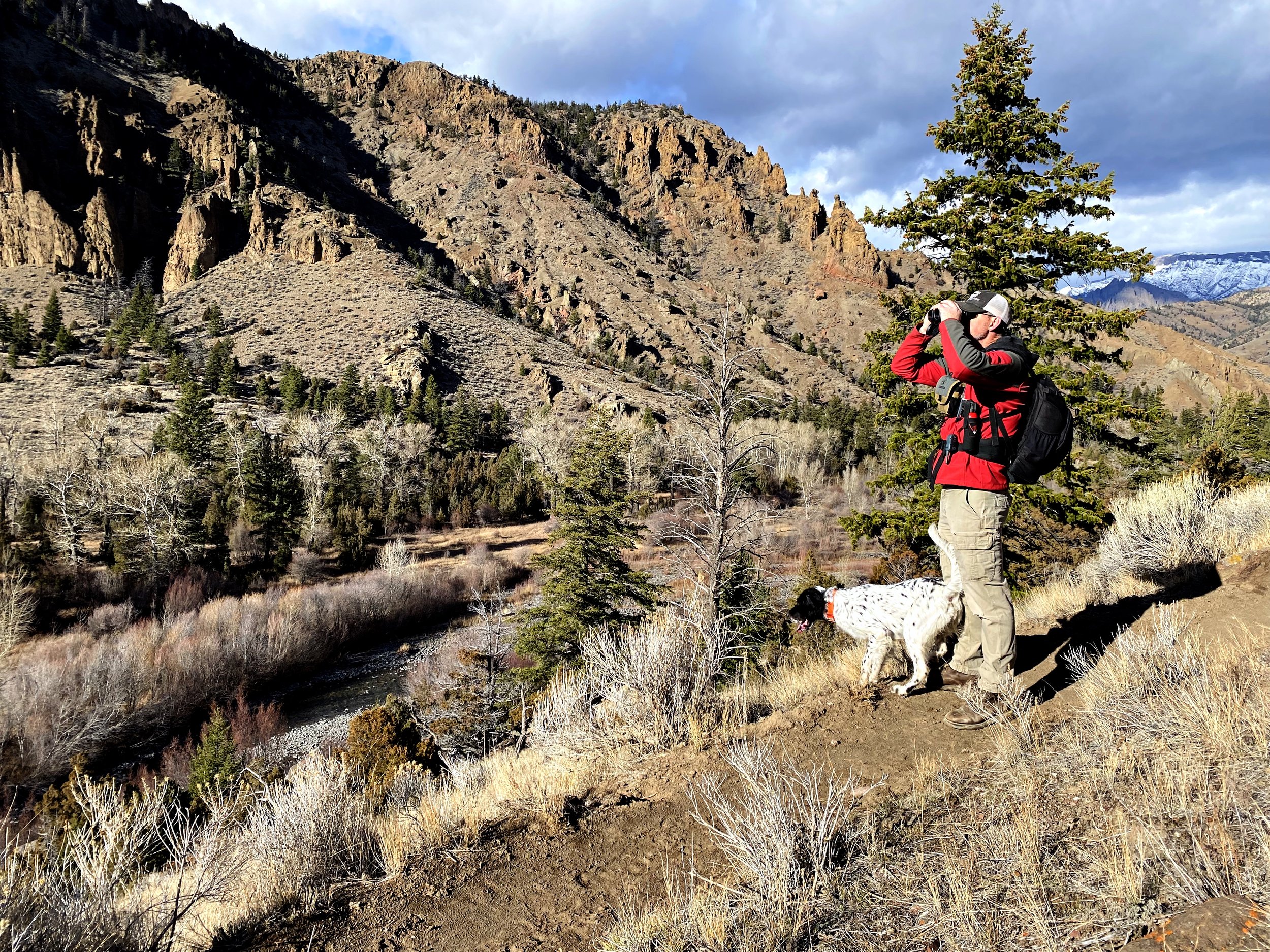
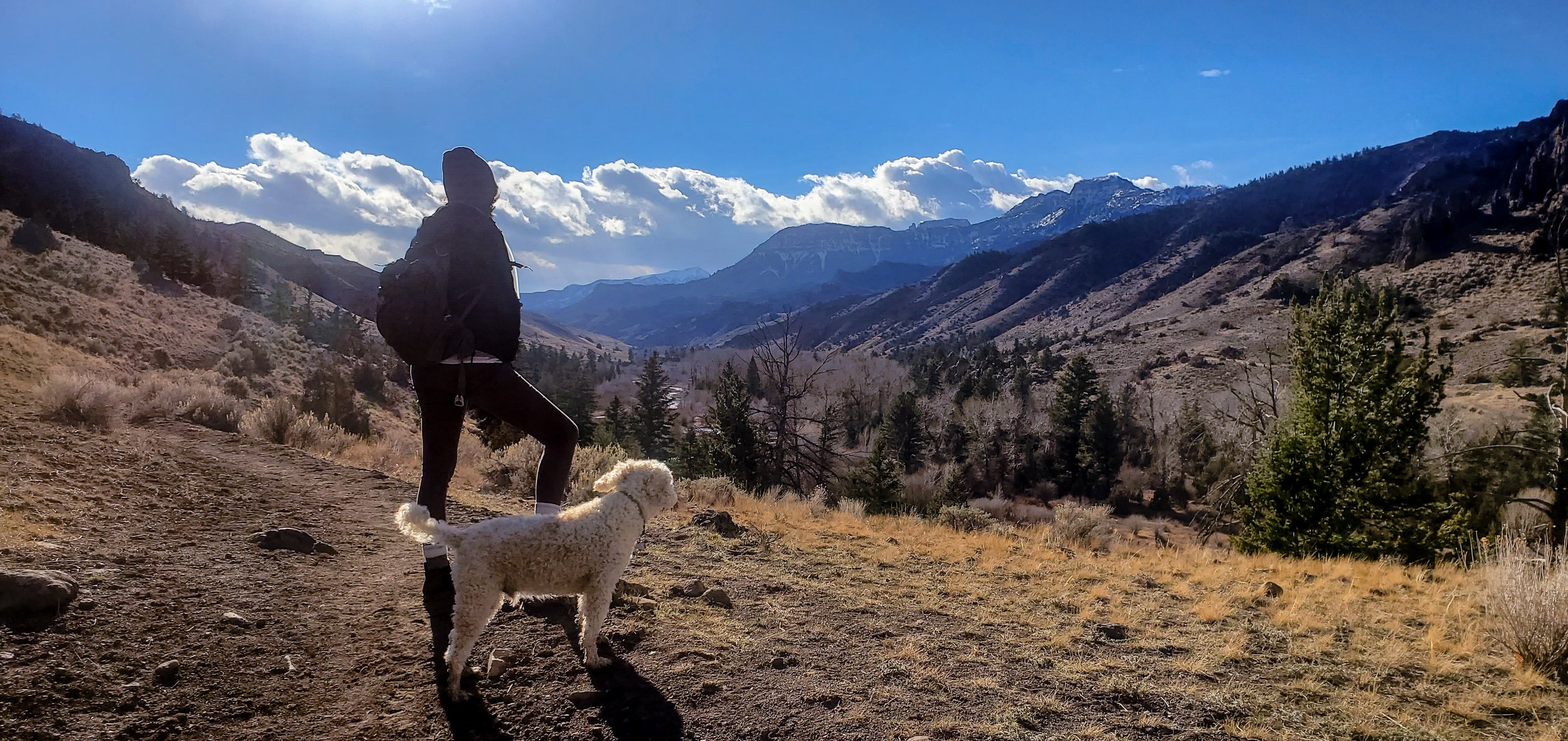
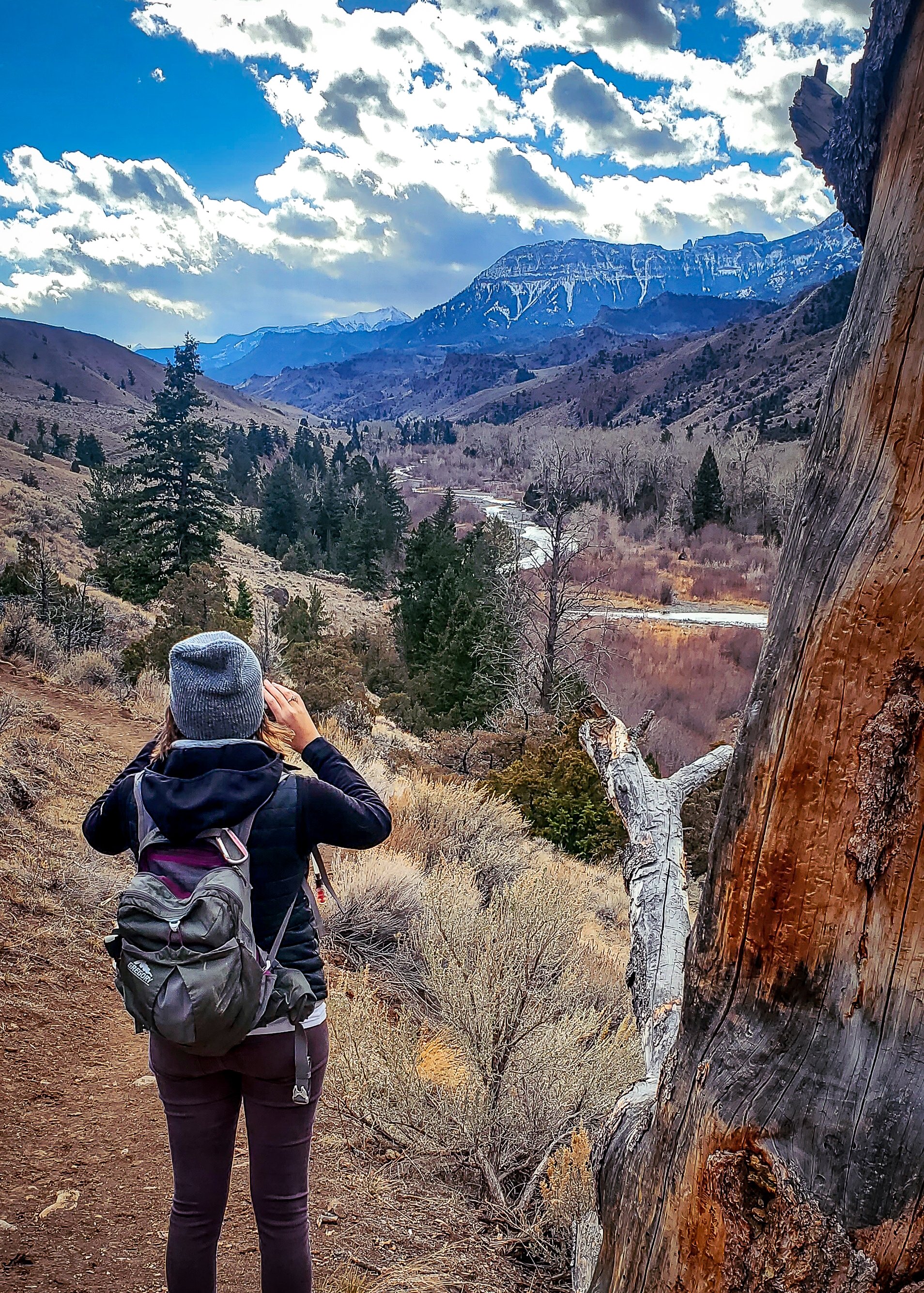
This hike is popular amongst local hikers, mountain bikers and horseback riders. Known for its stunning views and moderate level of difficulty. The out and back single-track trail winds south through the Elk Fork river valley and deep into the wilderness of the Shoshone National Forest. This is a great hike to take if you want to experience the Yellowstone ecosystem without having to enter the park. Hikers have the potential to spot several different species of wildlife including Grizzly and Black bear, Bighorn sheep, bald eagles, deer, Mountain lions, wolf, and elk, so be sure to bring your binoculars. The mountain views grow more beautiful the further in you get and the light puts on a spectacular display as it moves through the clouds and the river valley, bouncing off the ridgelines and river water. In the winter months this hike is great for an afternoon adventure because there is not a lot of shade cover, so the high winter sun takes most of the journey with you, making this a warmer alternative to some of the more covered hikes in the area.
The declared distance of the trail by trail maps is nearly 7 miles, however, you can continue further if you cross the creek which is where most maps say the trail ends. Most of the hike is easy to moderate, only gaining 551 feet of elevation there and back. This hike is perfect for a great day spent in the heart of the Rocky Mountains.
Directions: Head west on Highway 14 towards Yellowstone National Park for approximately 30 miles. Don’t let the mileage discourage you, the drive itself is worth your while. After 30 miles you will make a left turn into Elk Fork Campground where you will drive to the south side, parking in the day parking area. On the southeast side of the parking lot there is a dirt road the goes south. Follow this road passed the horse corrals and then veer left onto the single-track and you’re on your way.
For more details, directions and trail map access visit AllTrails here.
Pro Tips
Keep in mind that the majority of Park County is bear country. When you are out adventuring be sure to carry bear spray and know what to do in the instance of attack. Bears are usually more afraid of you than you are of them so be sure to make plenty of noise when you are hiking in bear country. This will alert the bear of your immanent approach and hopefully scare them away before you meet.
Several of the hiking trails in the area are not well marked, keeping that wild feel. It is helpful to carry some sort of navigation with you. Alltrails and onX are both great trail maps that work wonderfully together to provide great insight into the area in which you are exploring. Both offer the capability of downloading maps so that you still have access when you are out of cell range.
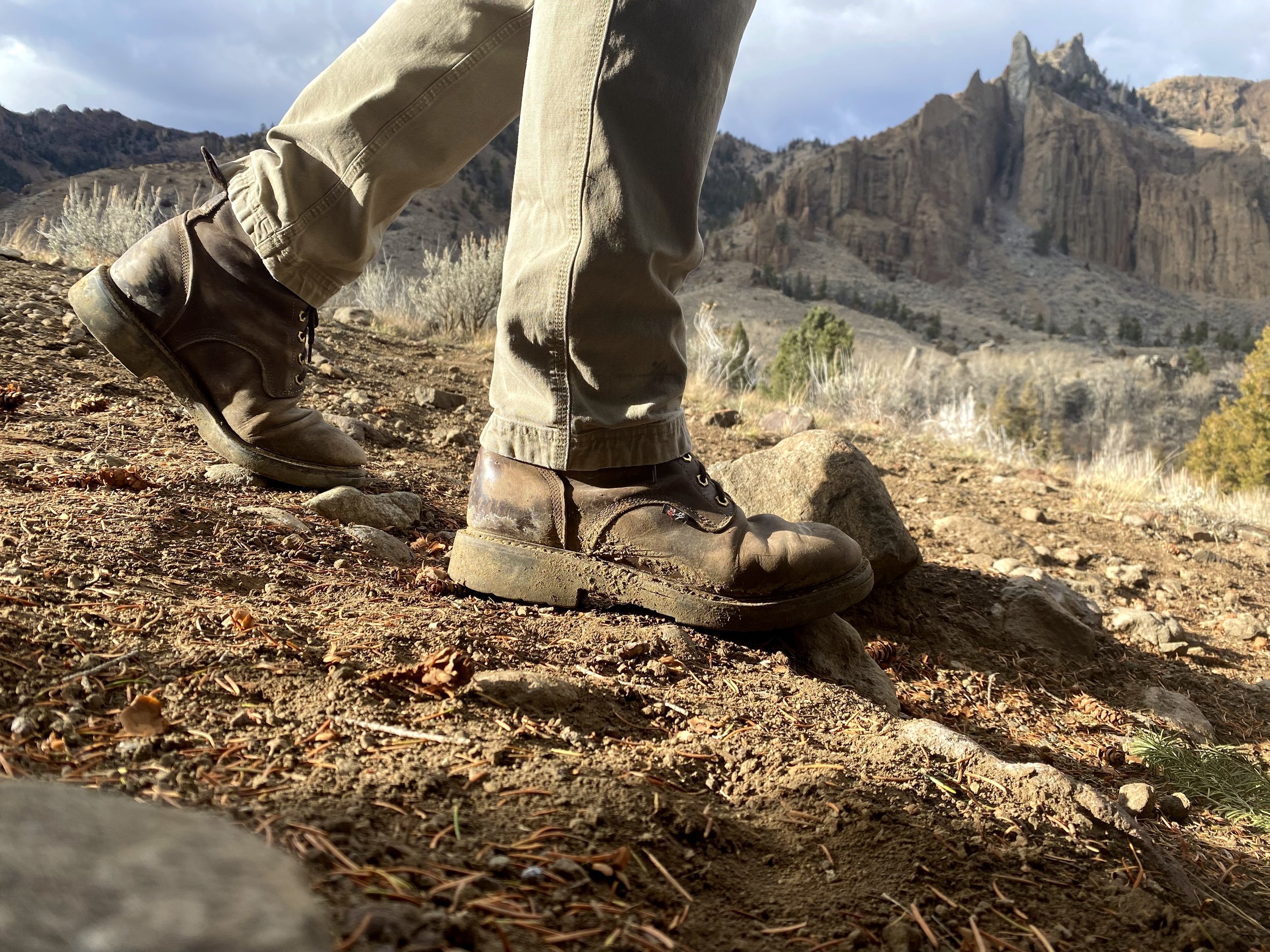
The trick to having a good time outdoors this time of year is being prepared. Wyoming weather can be temperamental and can change on a dime. Don’t trust fully in the projected forecast when you plan what kind of outerwear you choose to bring. Staying dry and warm is paramount this time of year so layer up and wear waterproof shoes. Packable down jackets are great for this type of activity because it can be easily removed and stowed easily in a pocket or pack. Another favorite is Smartwool base layers to protect you further from the elements.
Happy Exploring! Be sure to grab so photos and share with us on social media, tag us @LiveWYldMag and @CodyYellostone then use #LiveWYld


