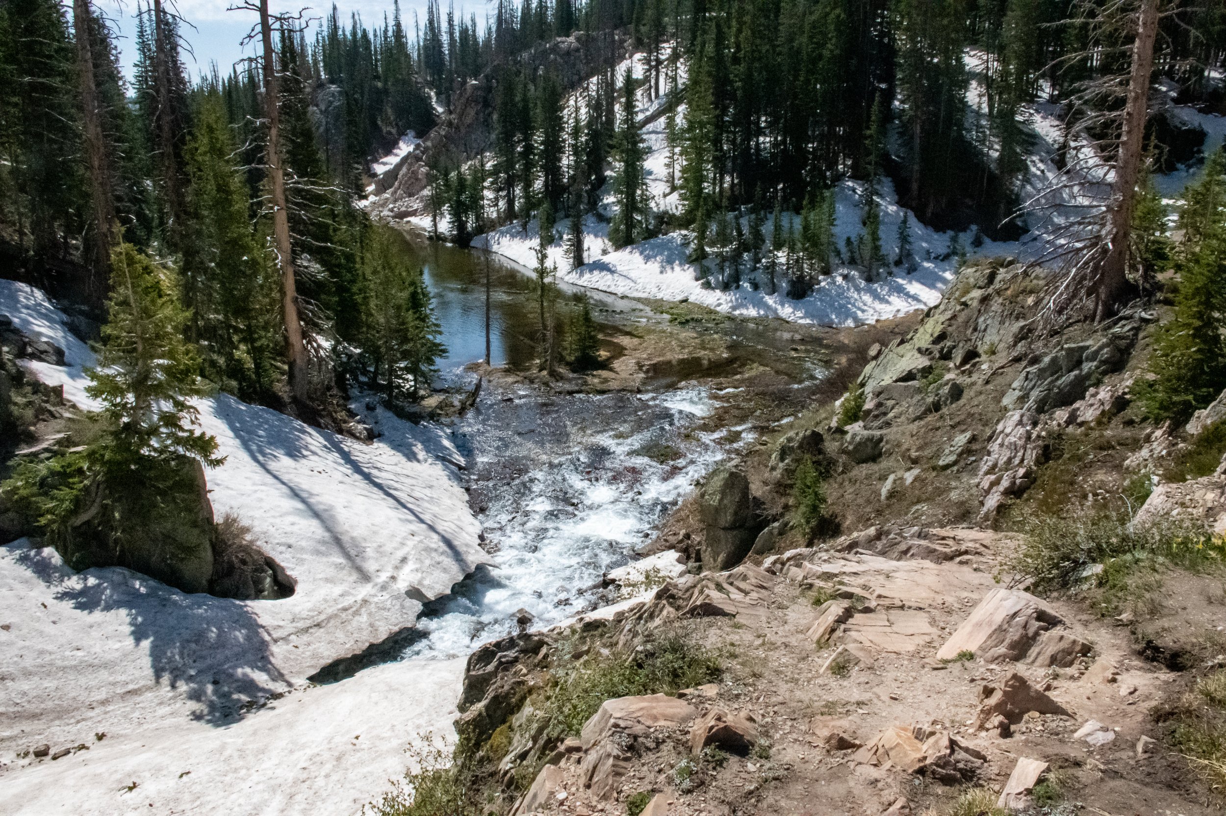
Medicine Bow National Forest - Snowy Range
Written By: Sarah Reish
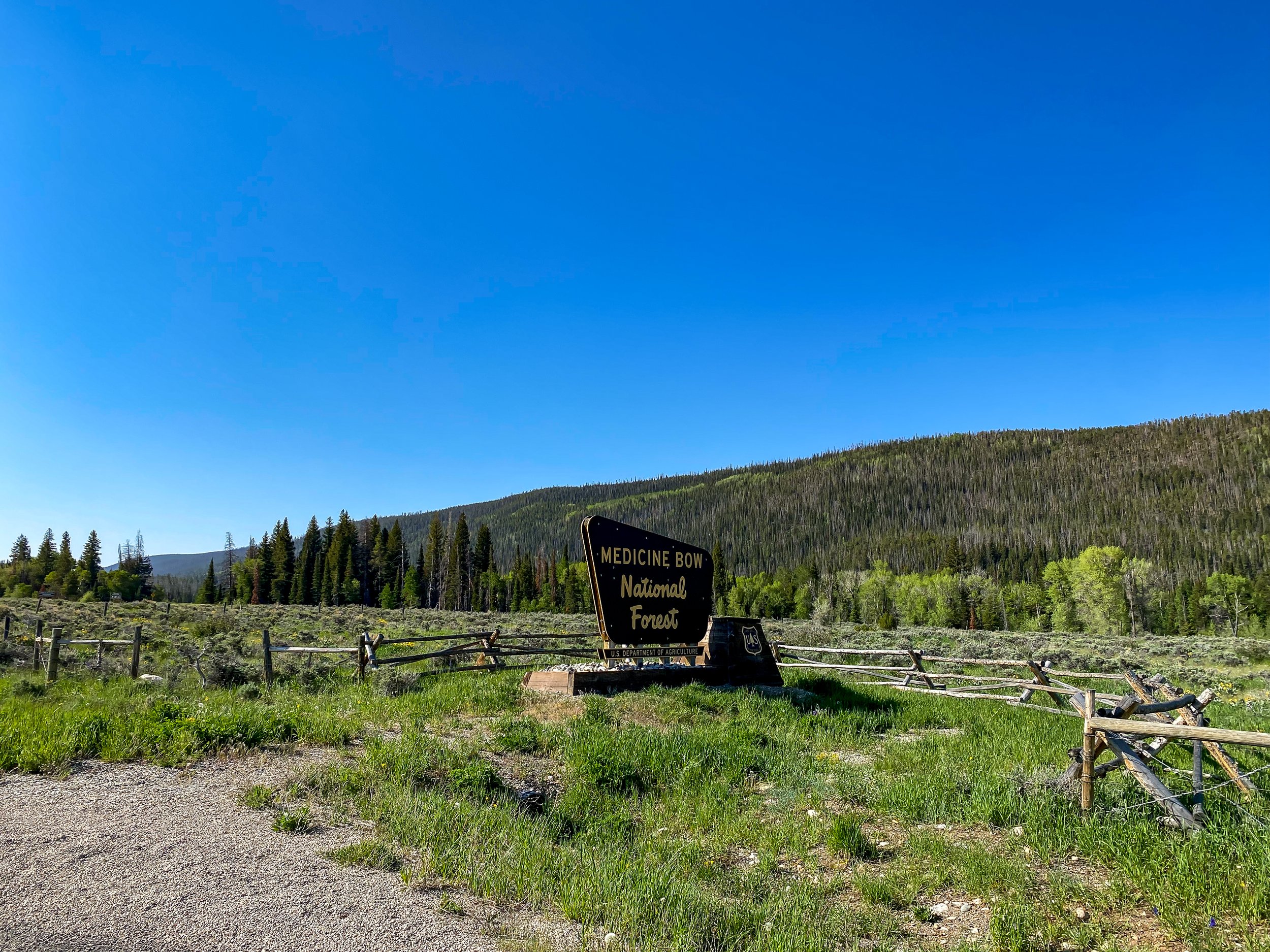
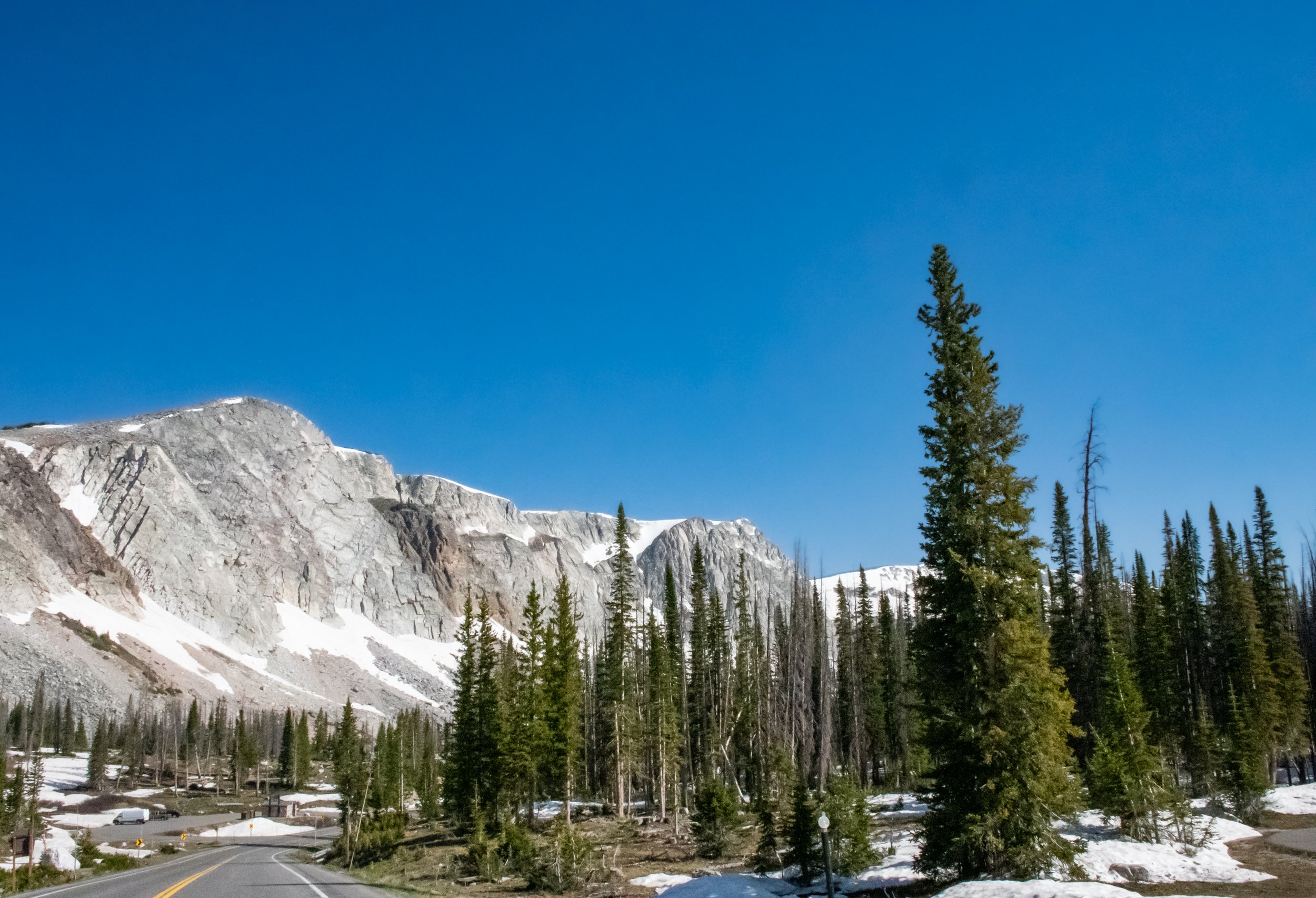
I did not realize that the Medicine Bow National Forest was as large as it was. It is in both Wyoming and Colorado. This trip is into the Snowy Range which is north of Encampment and south of Saratoga. We headed east on Highway 130 off of Highway 230 that runs north/south between Saratoga and Encampment. This is a beautiful part of the country. If you are looking to take a scenic route and stop and explore - this is it.
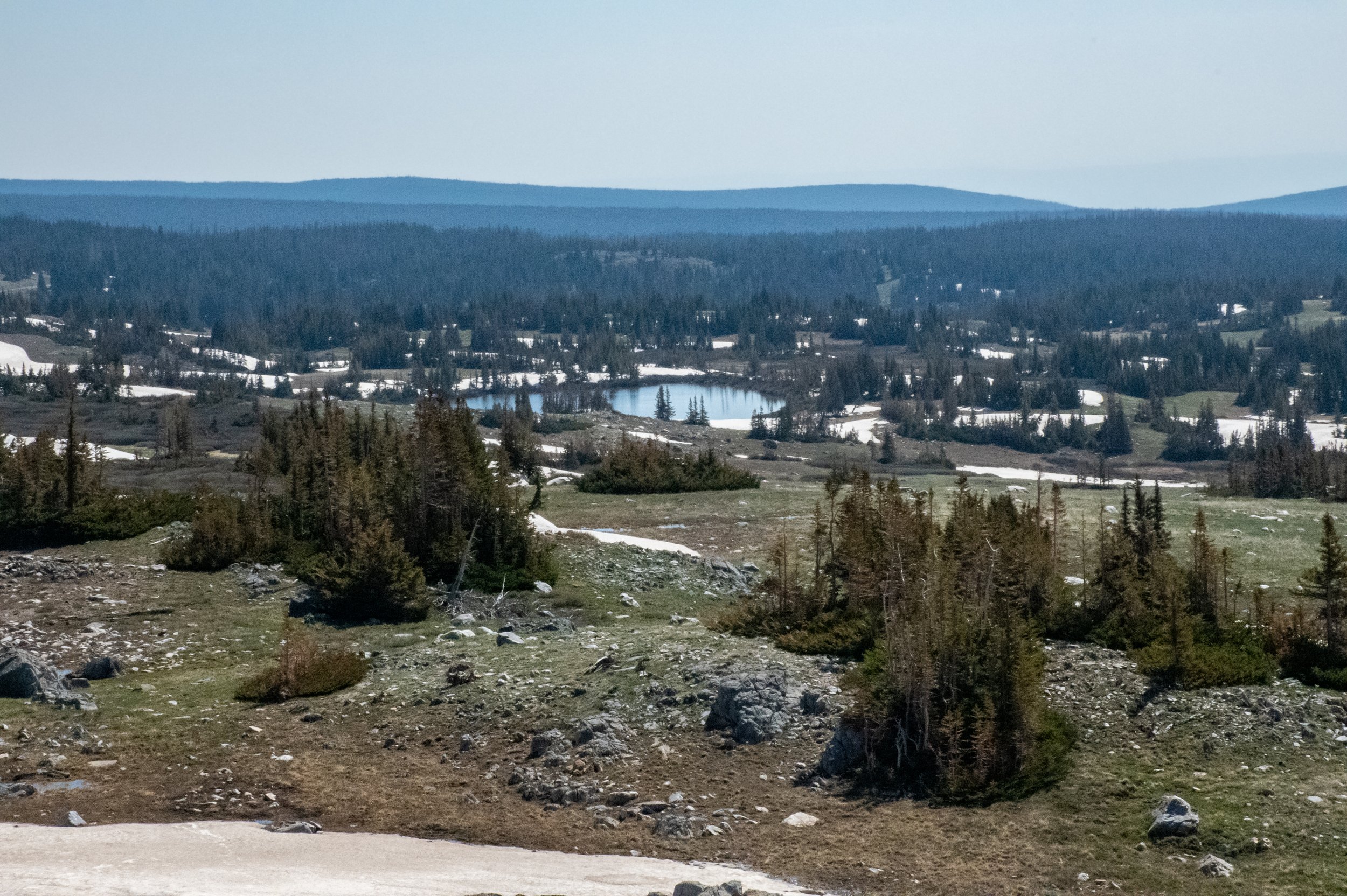
The lakes
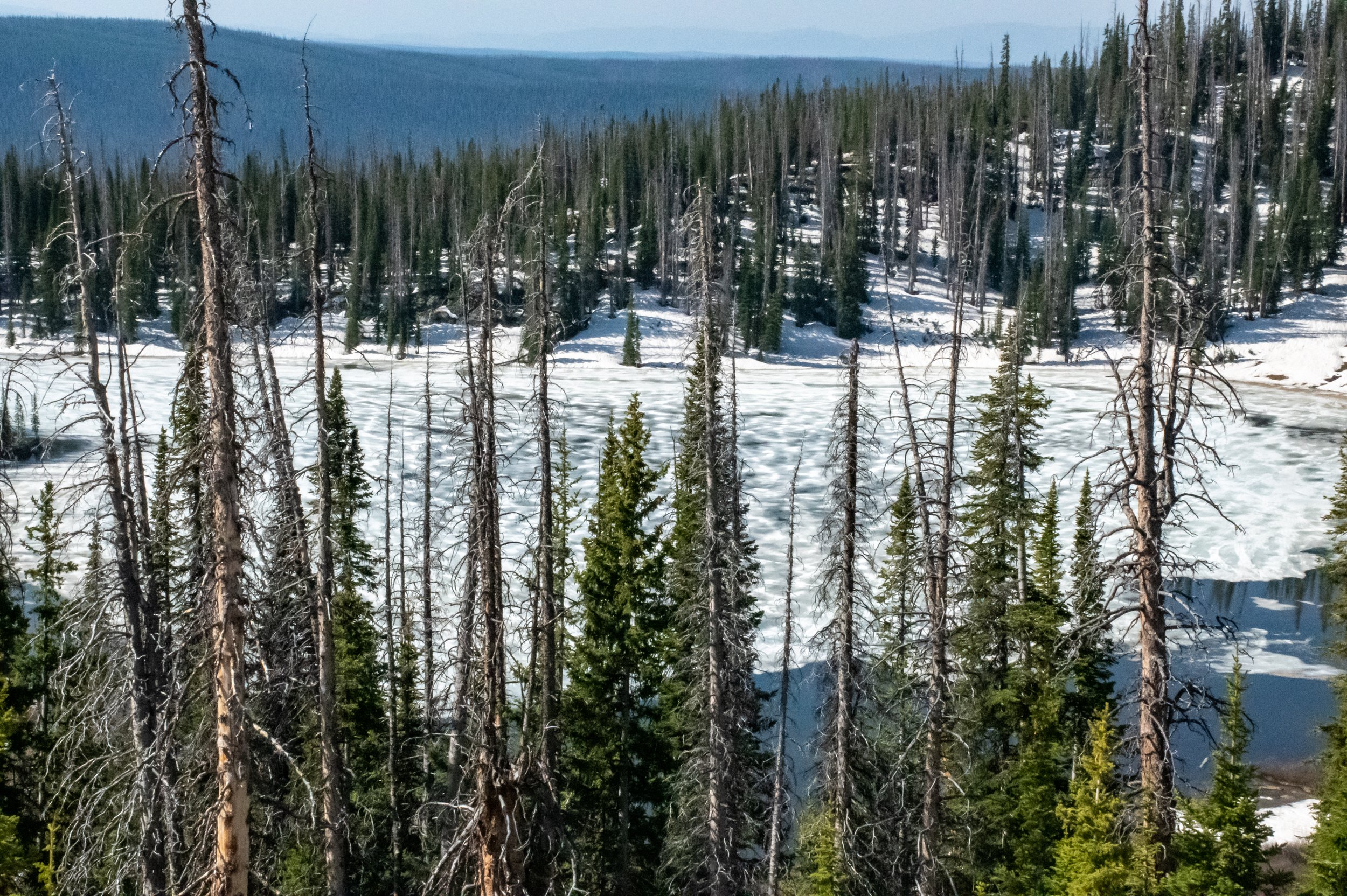
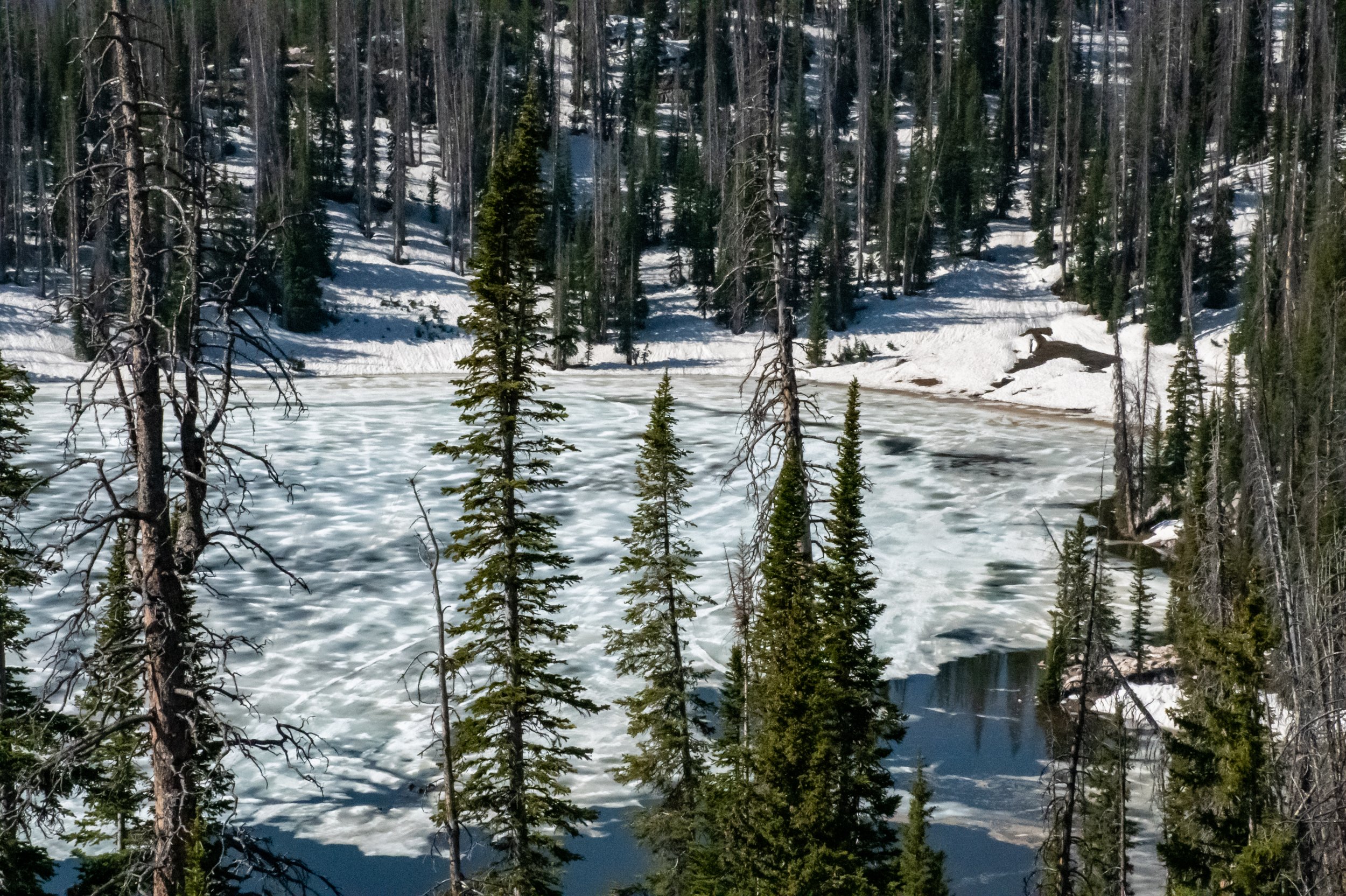
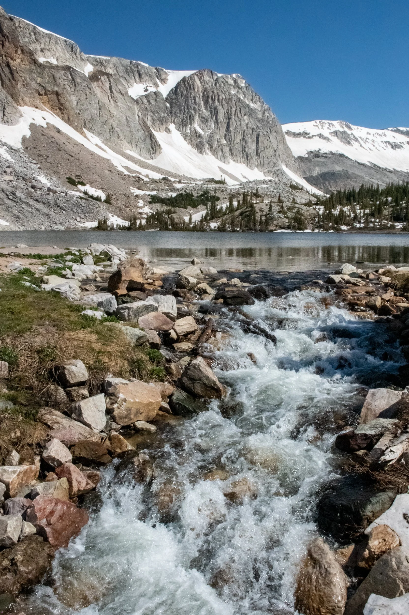
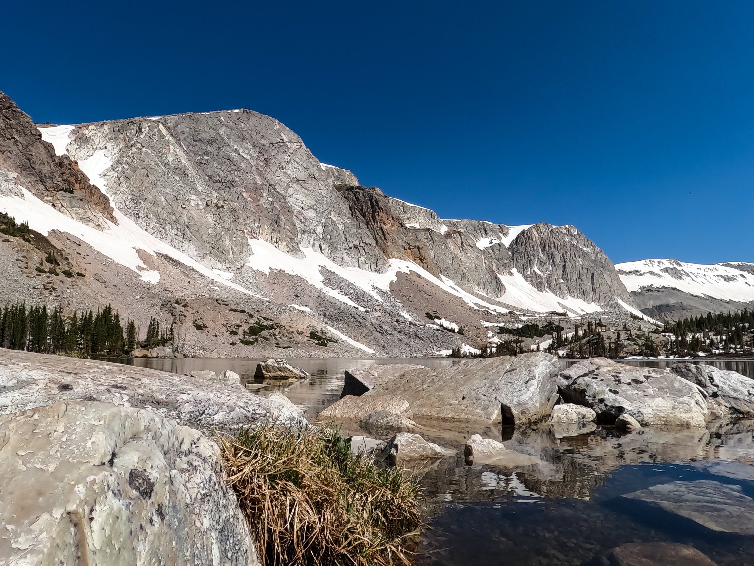
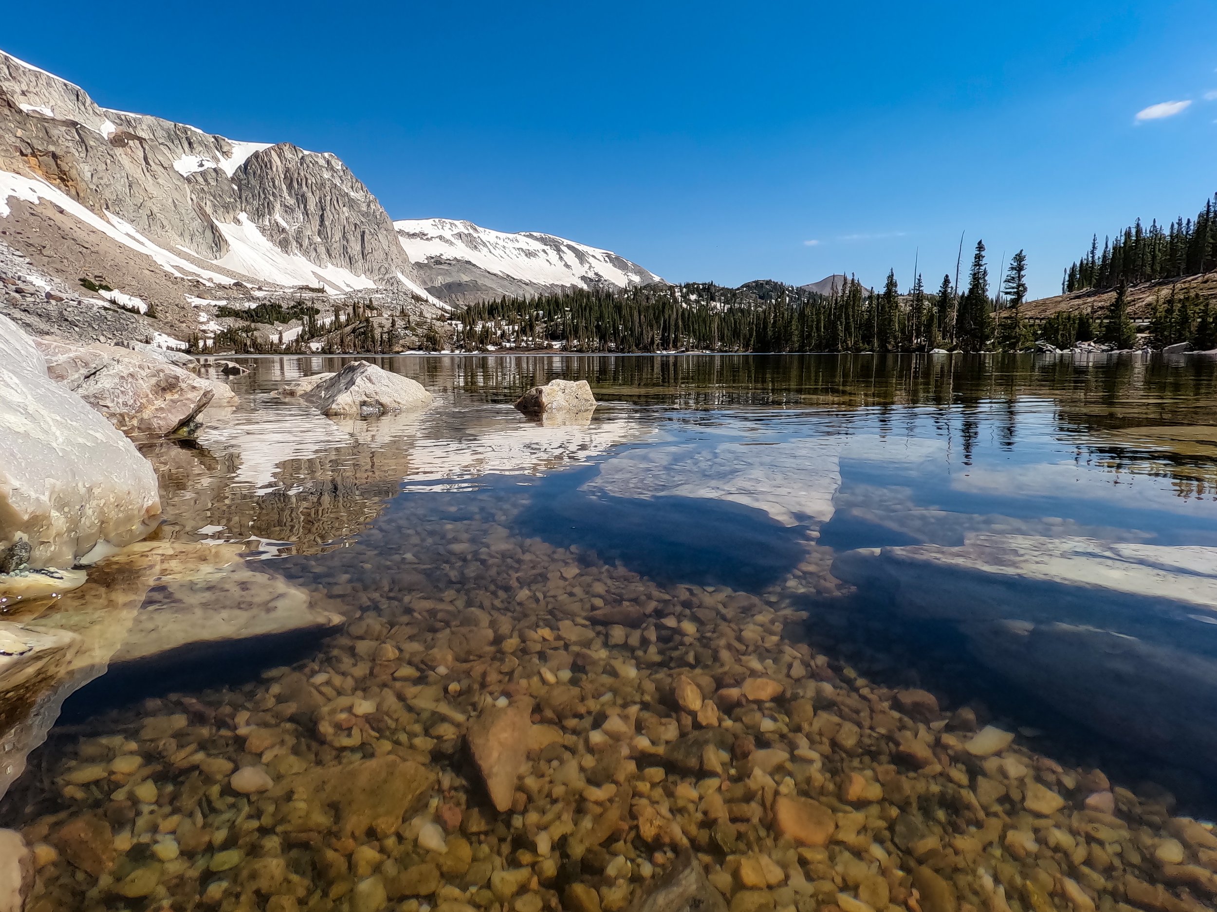
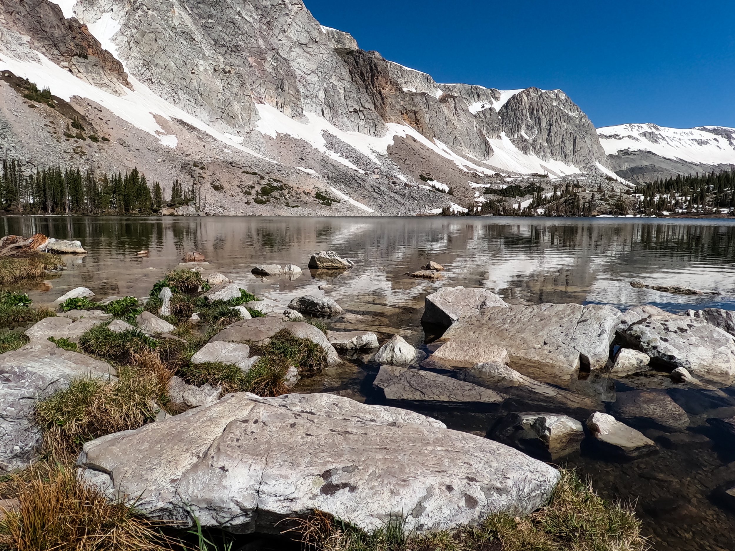
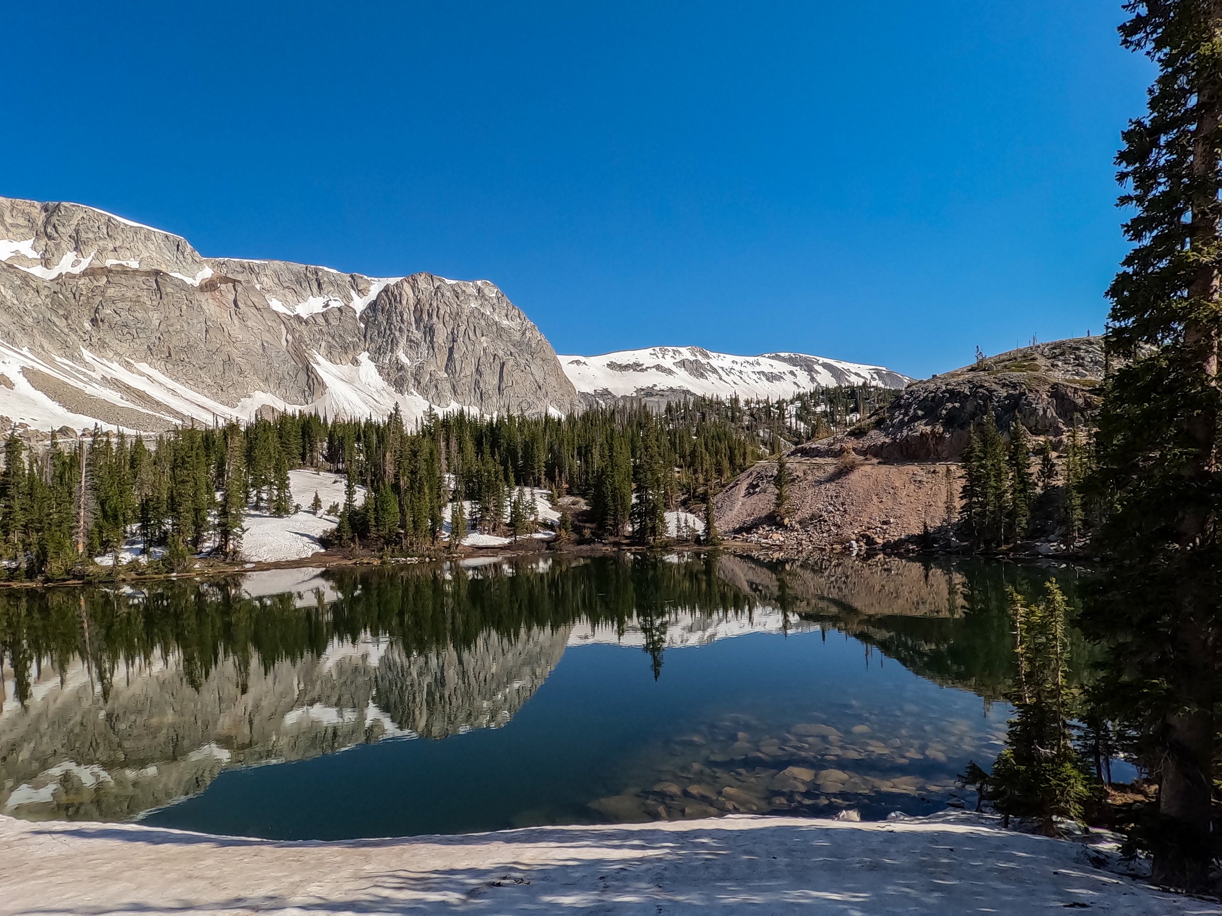
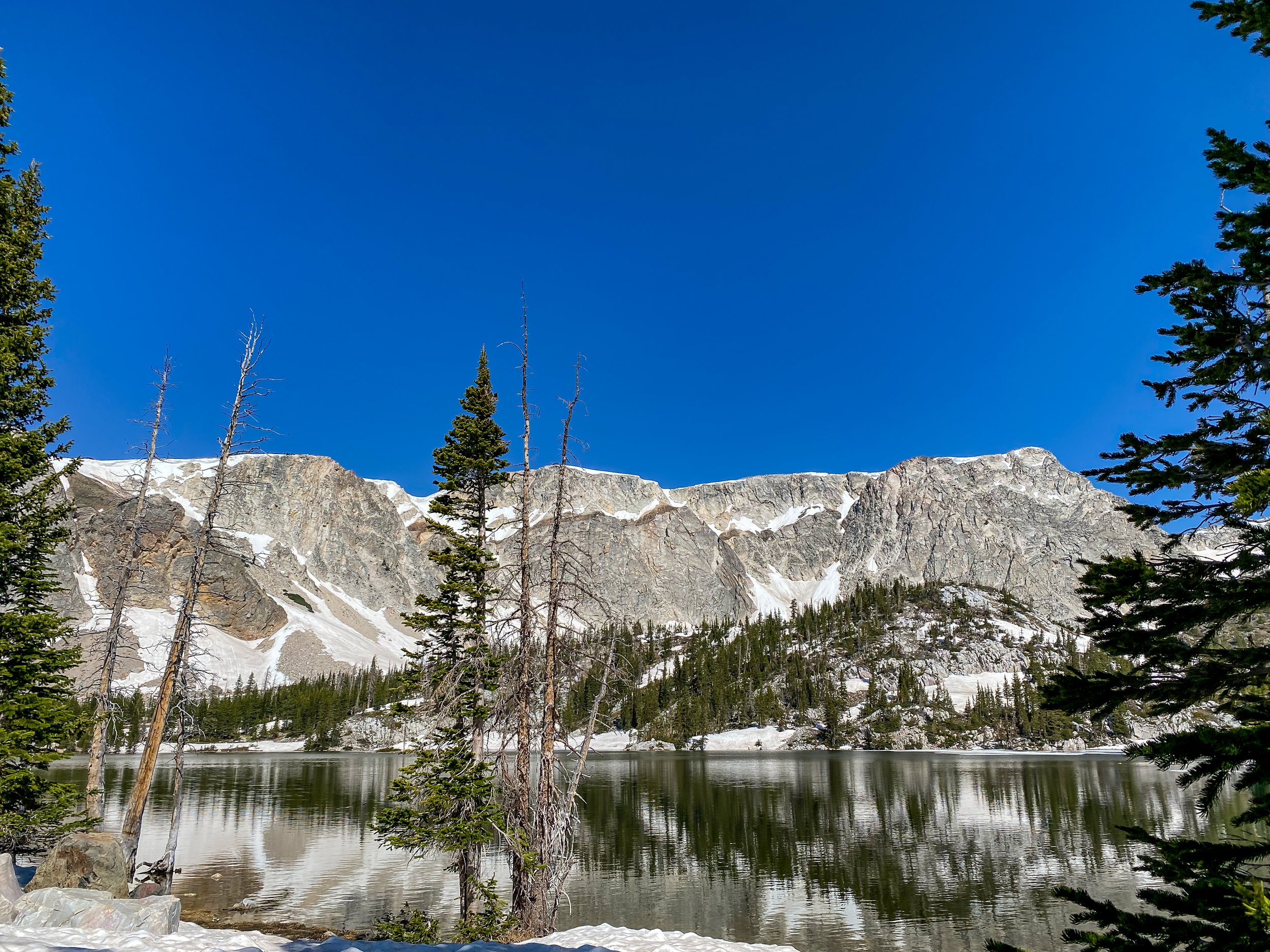
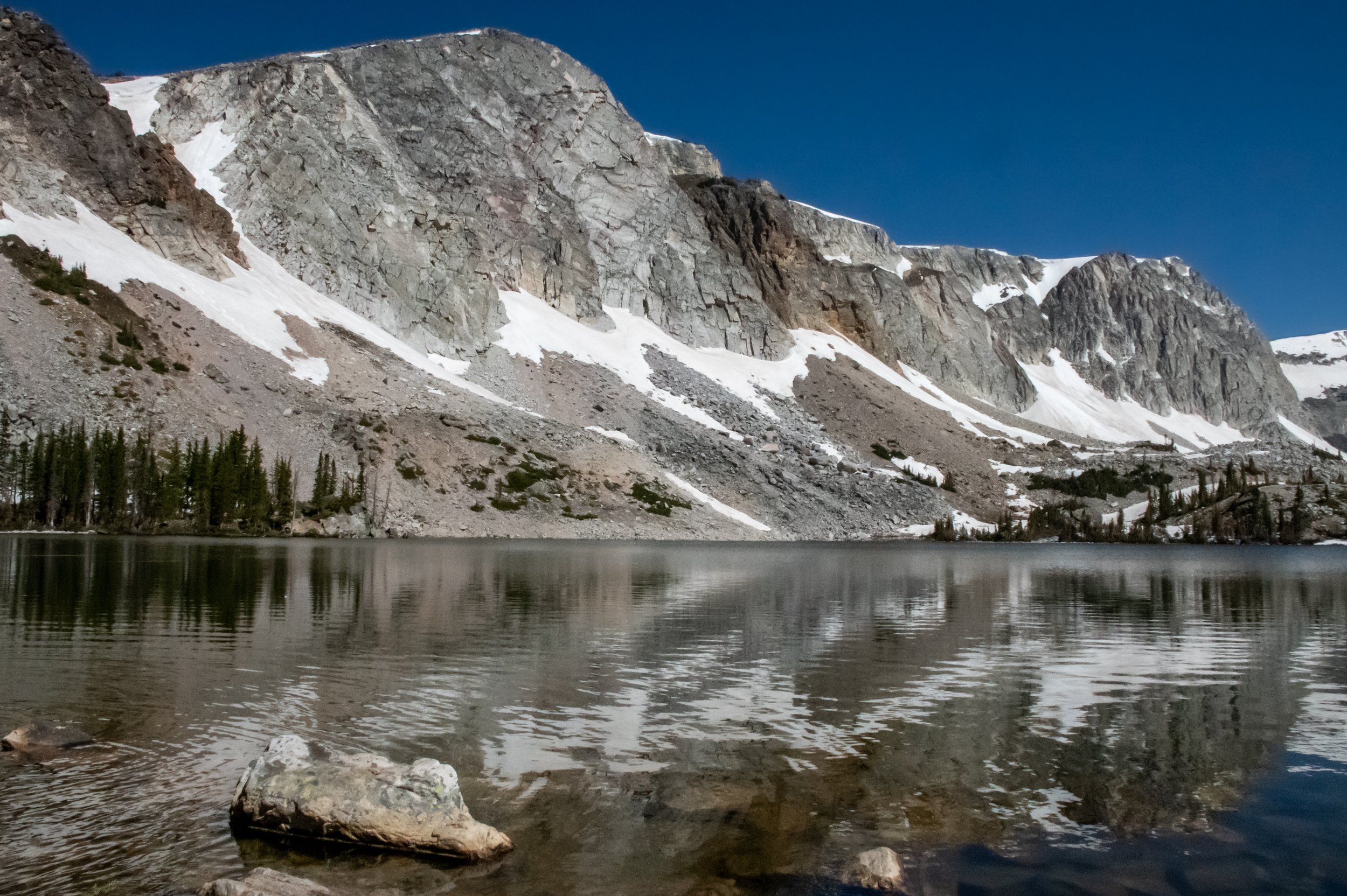
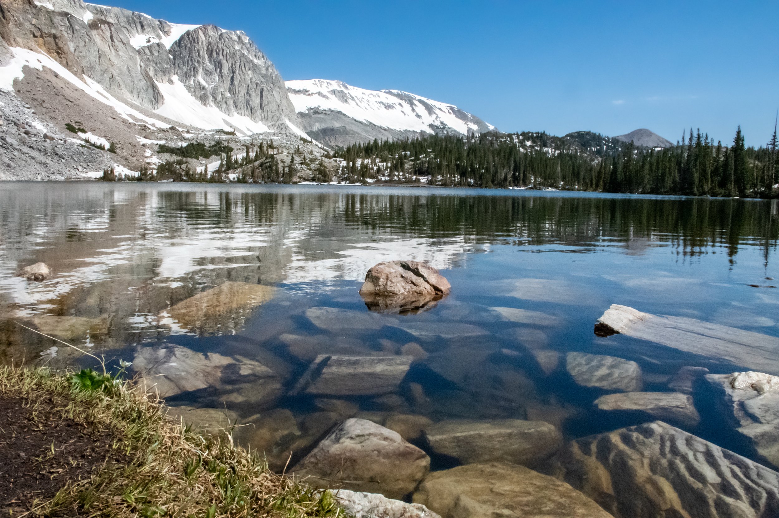
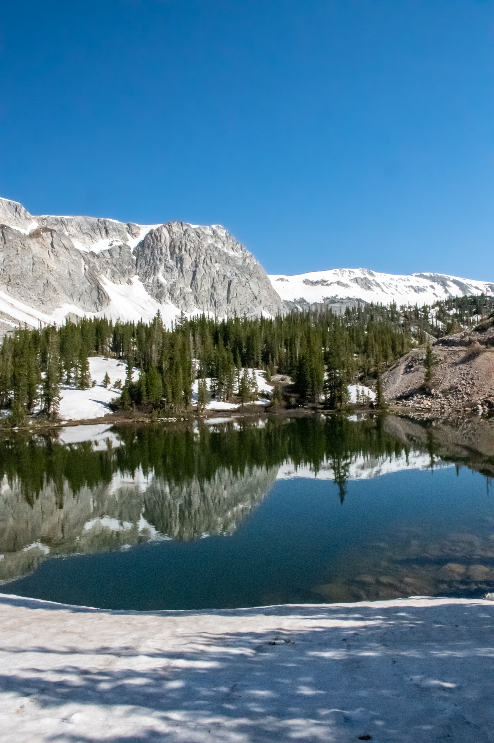
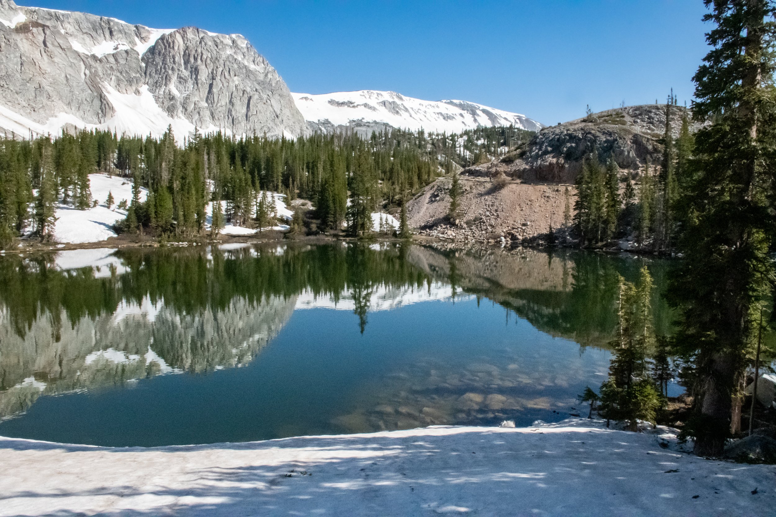
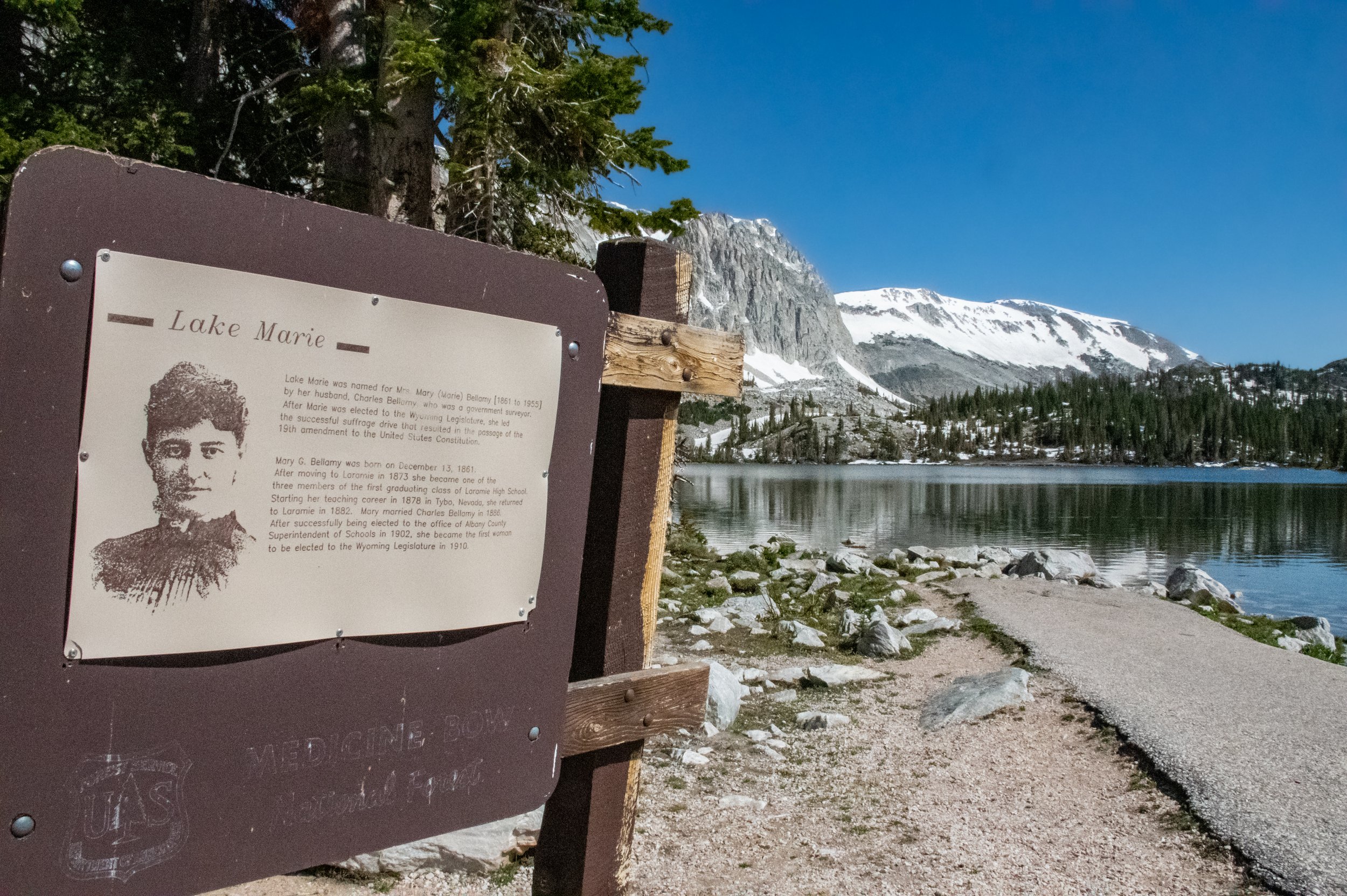
There are many alpine lakes in this part of Medicine Bow. The lakes peppered the entire area along with bogs, rivers and forest. Lake Marie was one of the larger lake and is named the wife of a government Surveyor, Mrs. Mary (Marie) Bellamy. She went on to be elected to the Wyoming Legislature in 1910 and was a major part of Women's Suffrage.
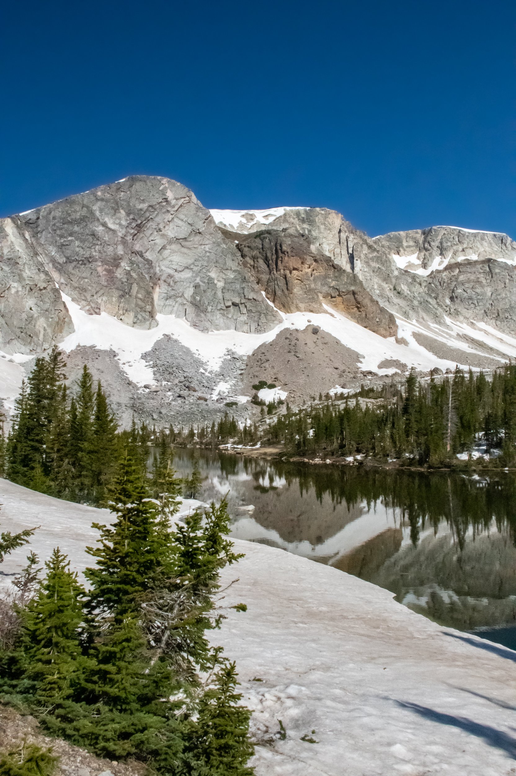
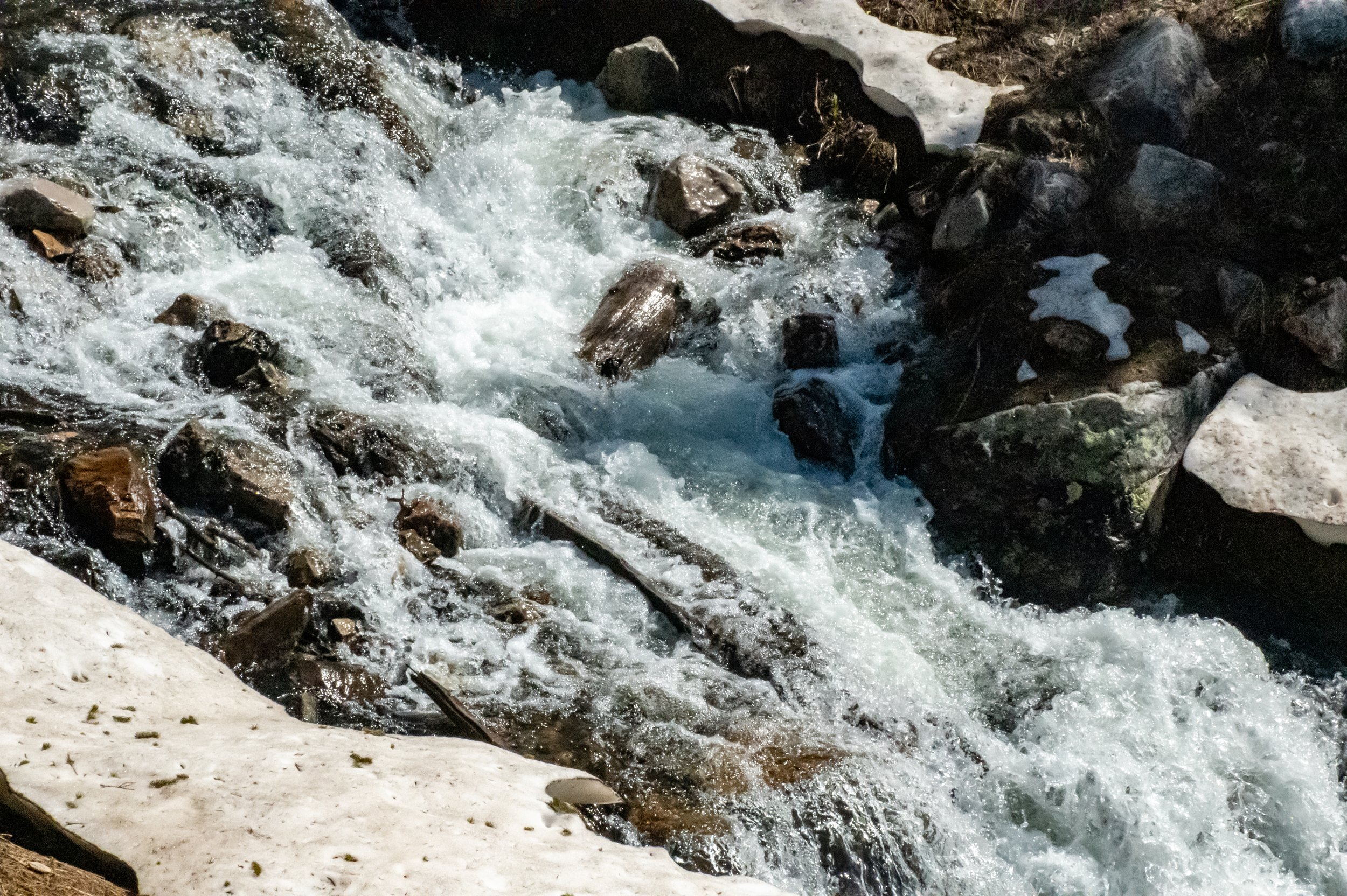
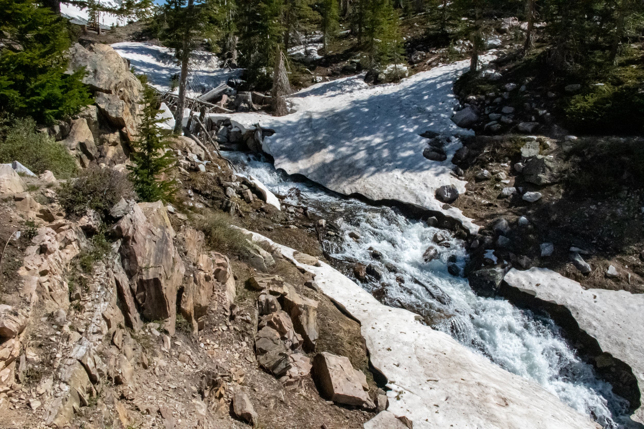
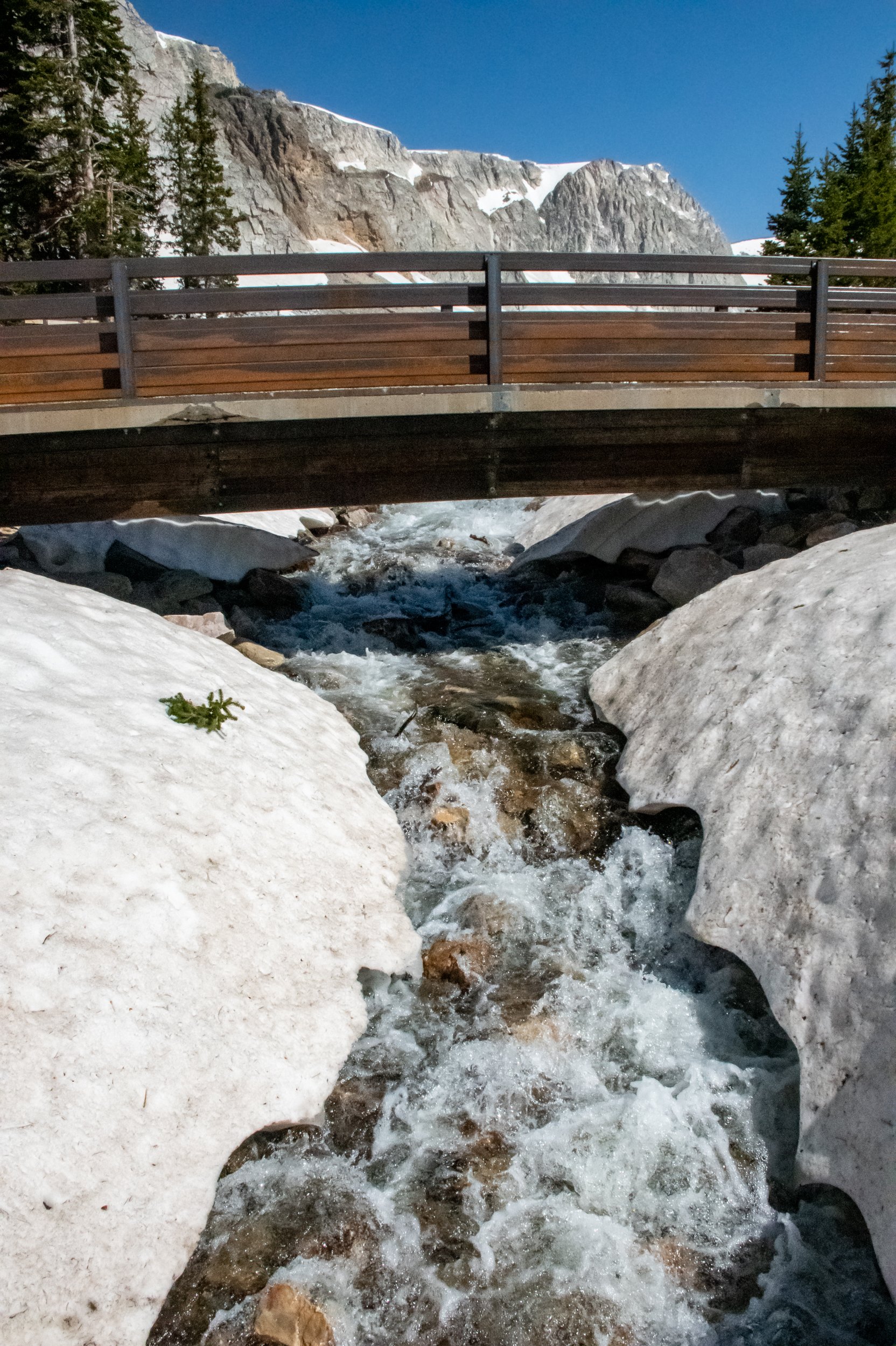
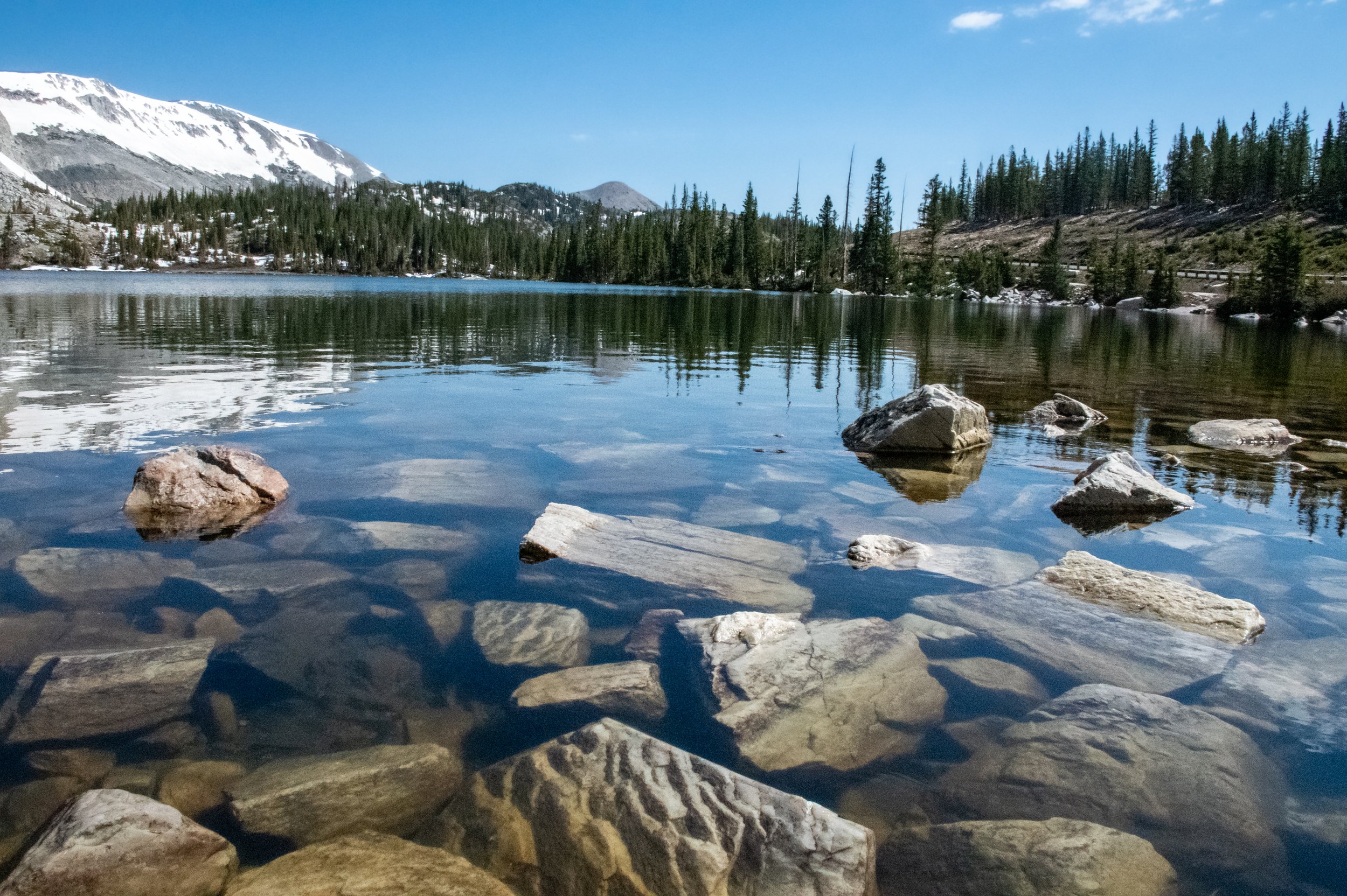
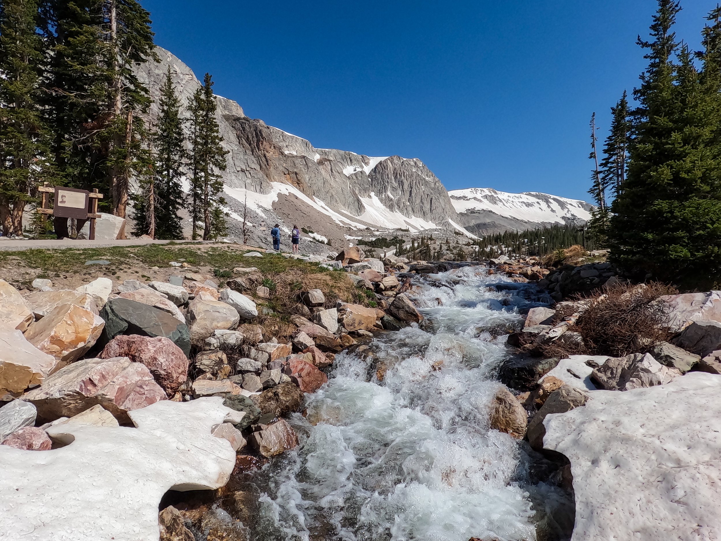
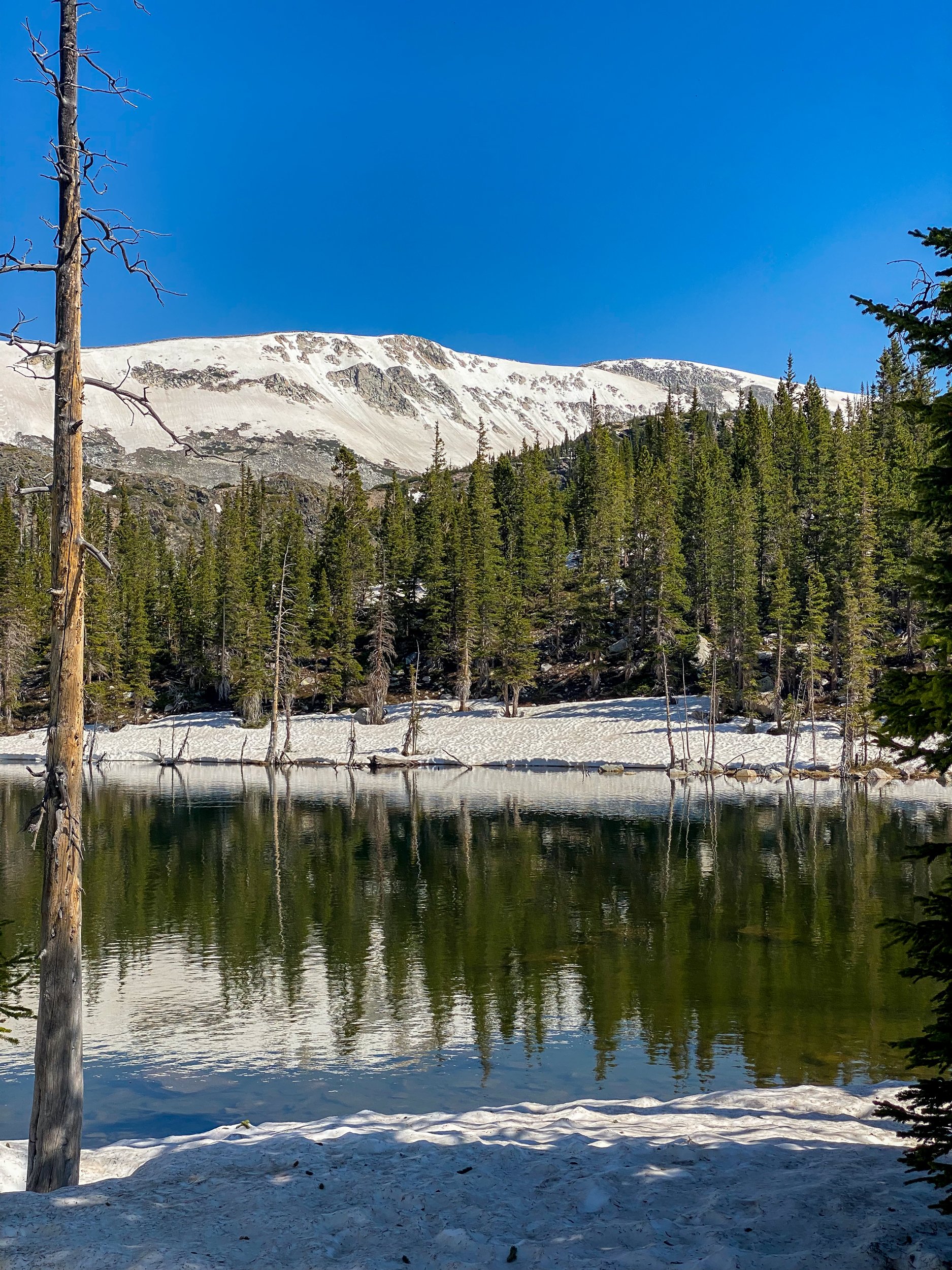
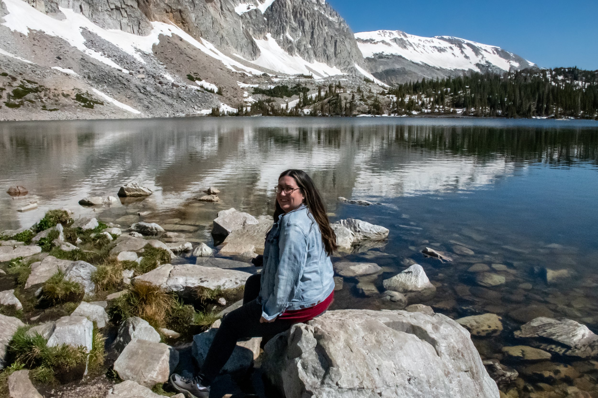
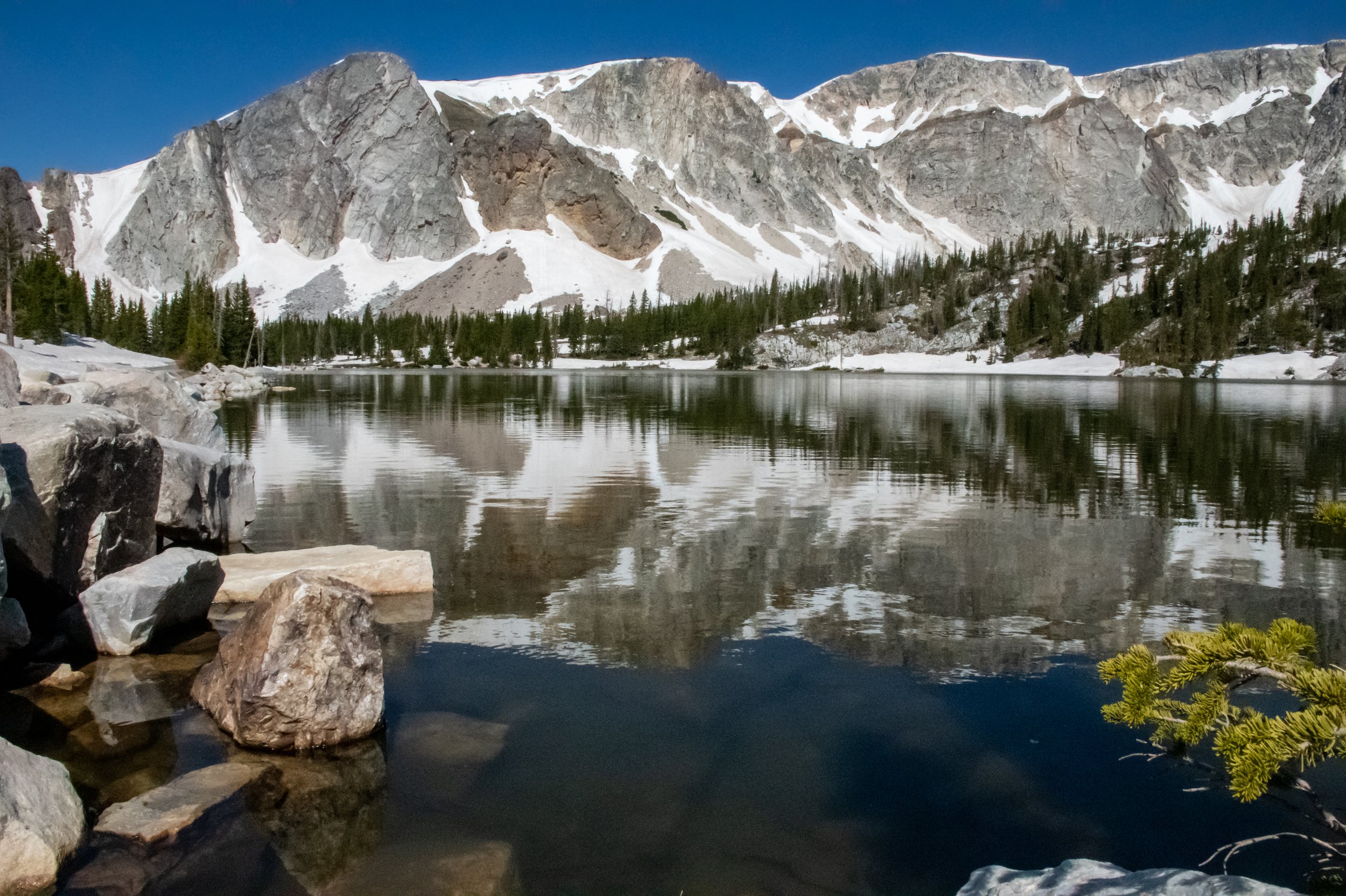
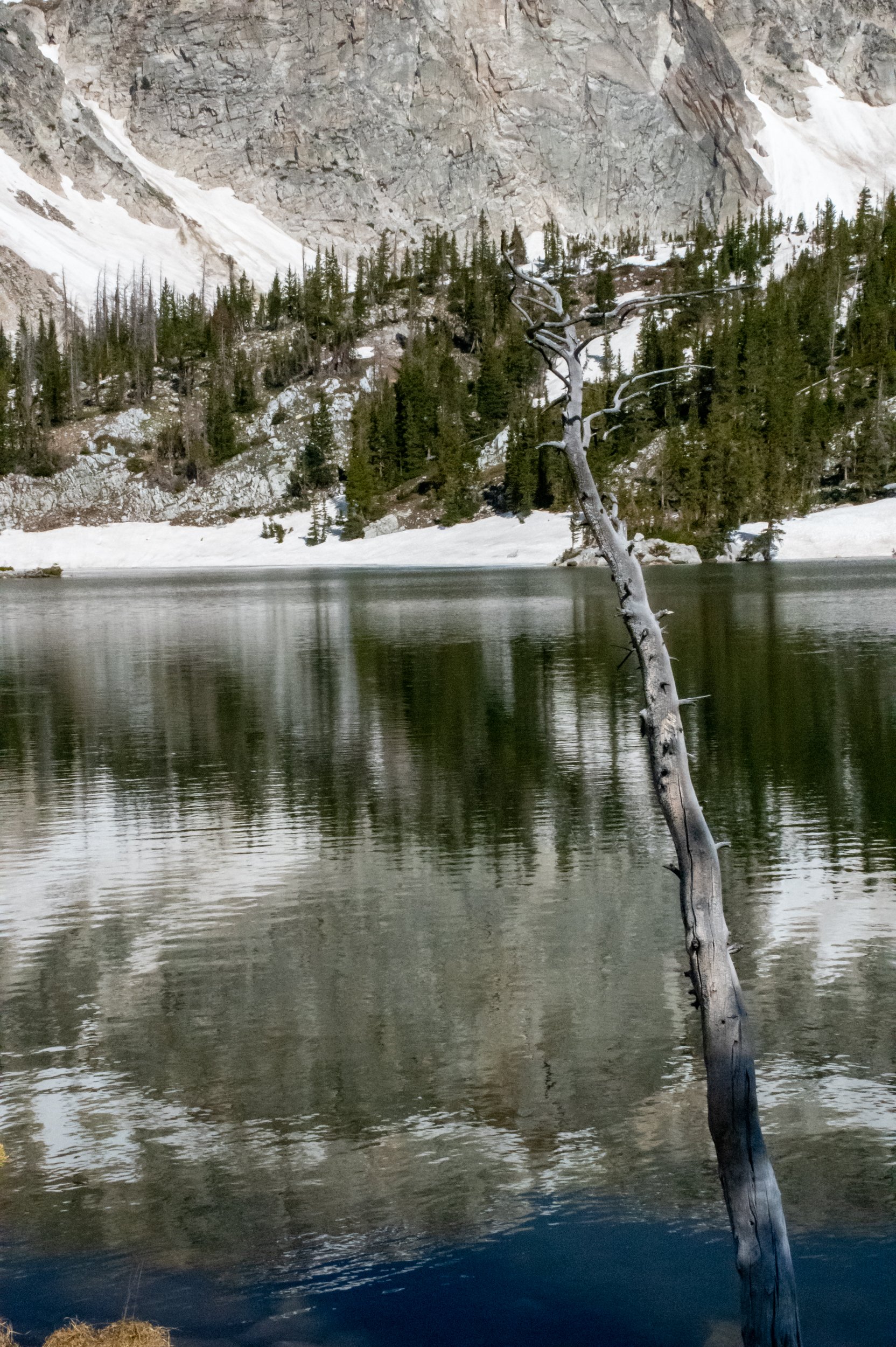
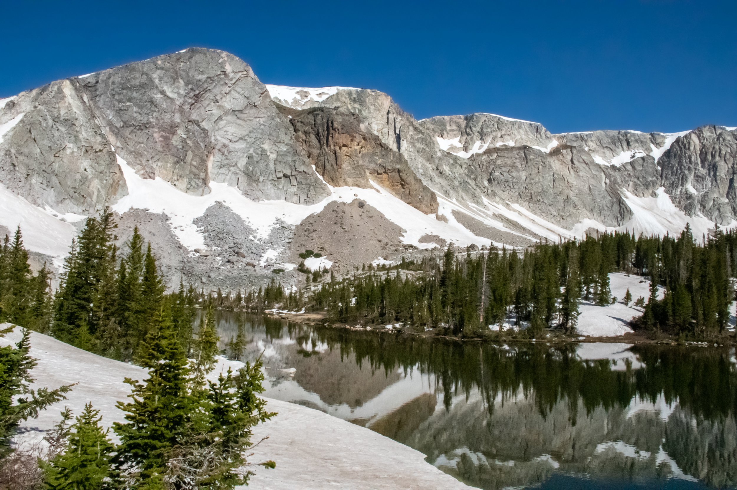
Lake Marie crosses the highway and feature falls, a variety of trails, and even a walking bridge. Next to Lake Marie is Mirror Lake, a stunning, still, and reflective lake followed by Lake Bellamy a smaller lake named for Marie’s husband. These are just a few names of some we visited. There are over 100 lakes in the Snowy Range.
For those looking to fish in the Snowy Range, here is a downloadable map/PDF.
The trails
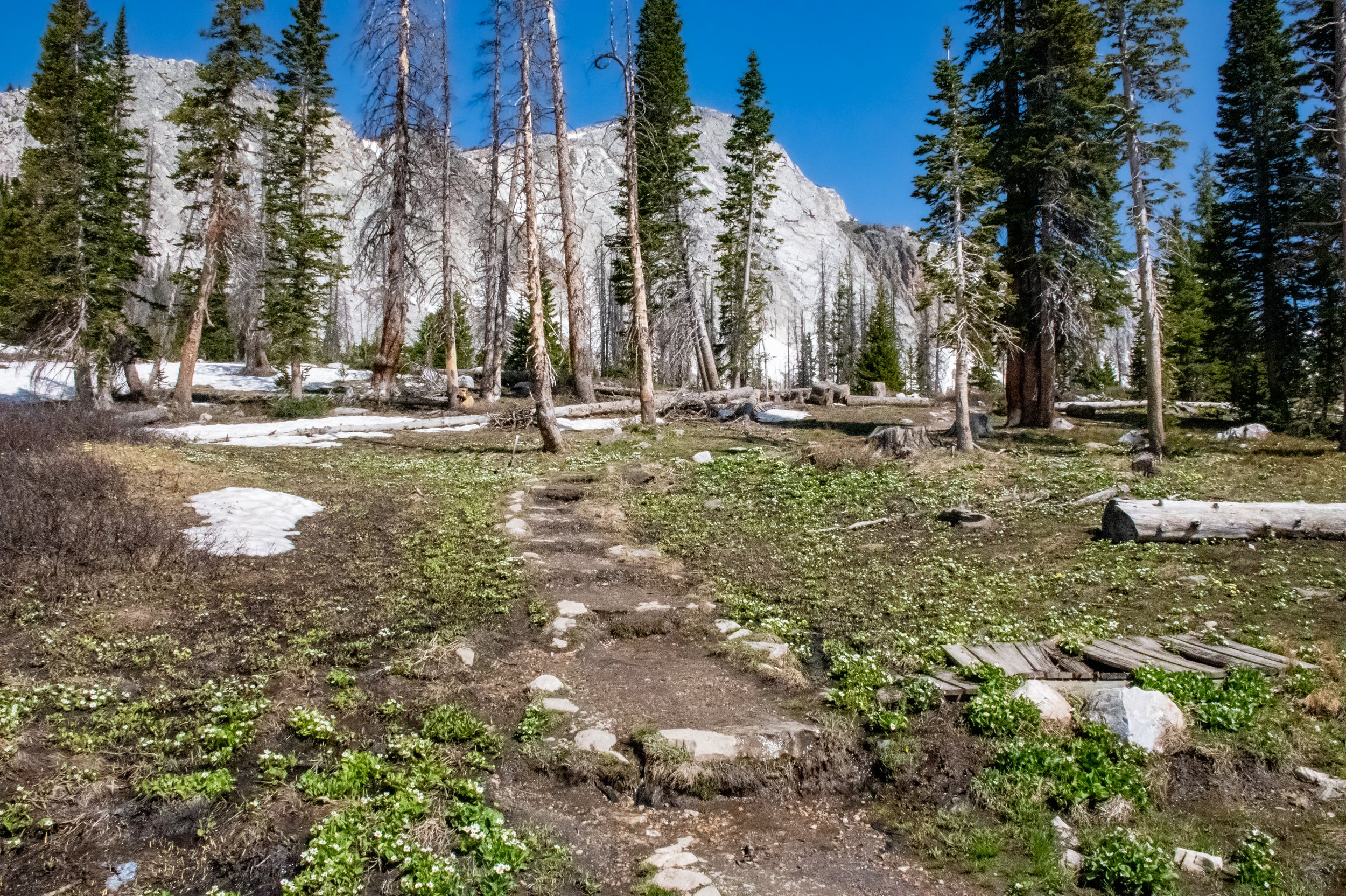
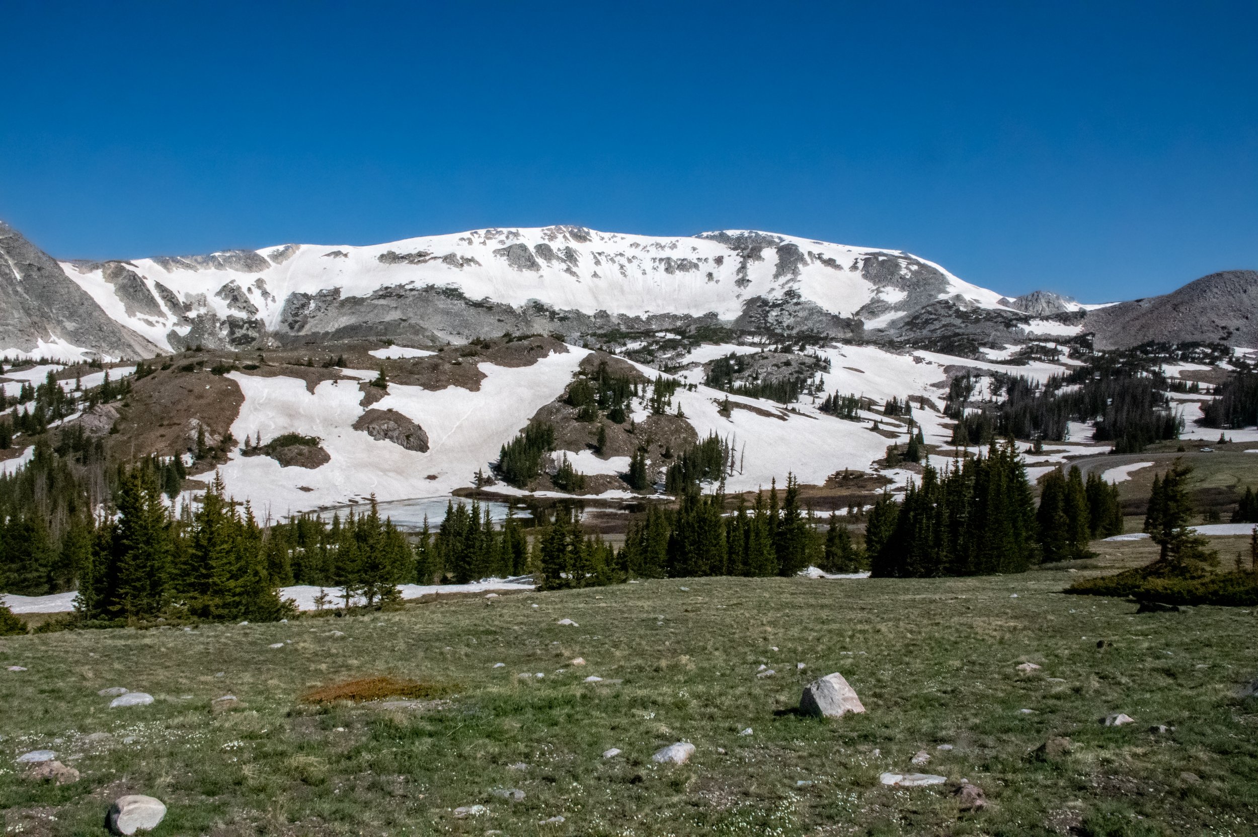
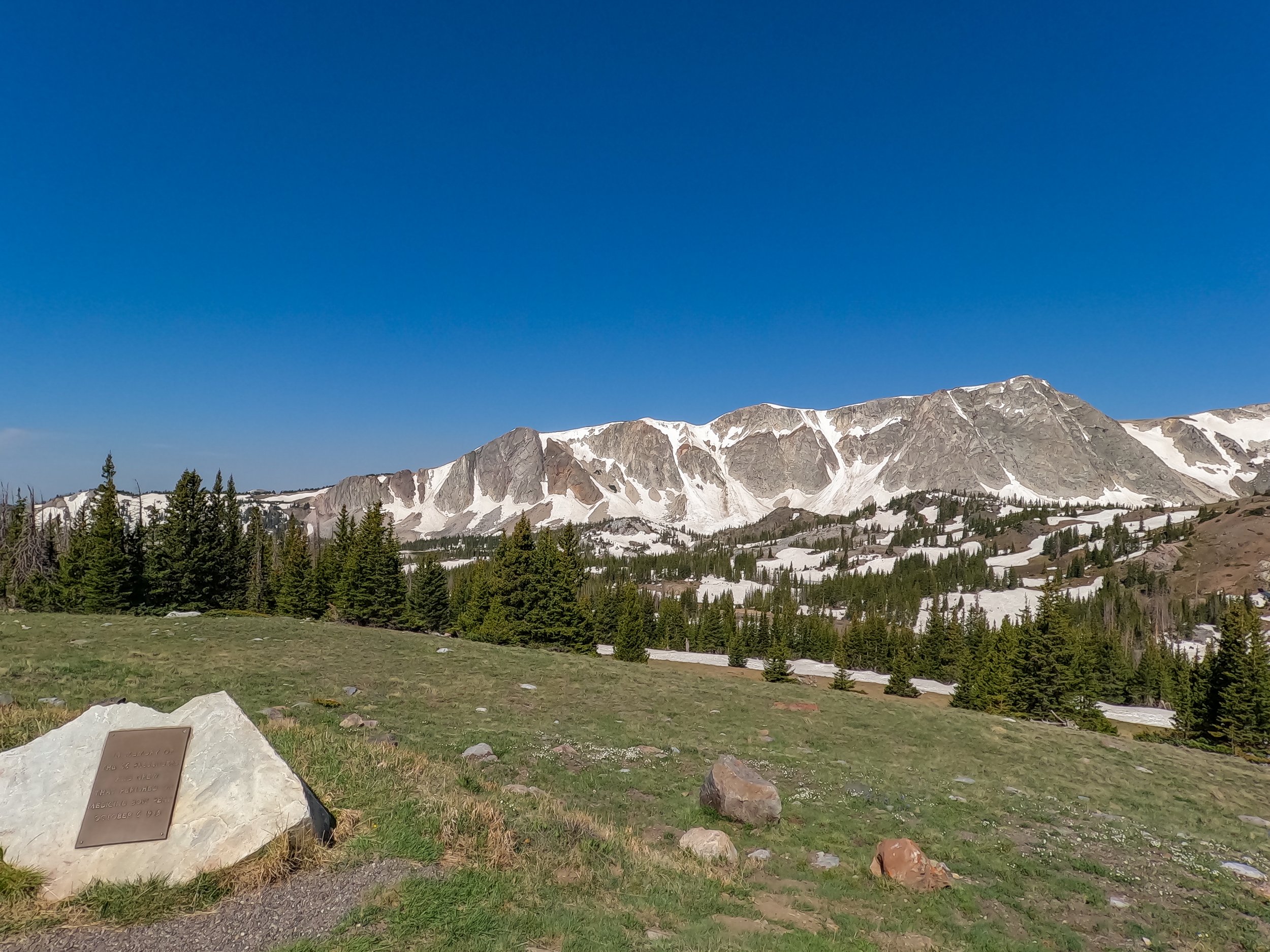
There are tons of trails and we were able to get out and explore several times. Around Lake Marie is a paved path that is fully accessible after the snow has melted. As you can see in our photos, there was still quite a bit of snow in the mountains, even for June. The trails in areas are steep, but circle the lakes as well as in some places, connect lakes via the trails.
In some places the trails are not paved, so please research what is best for you and your friends or family before heading out.
The overlooks
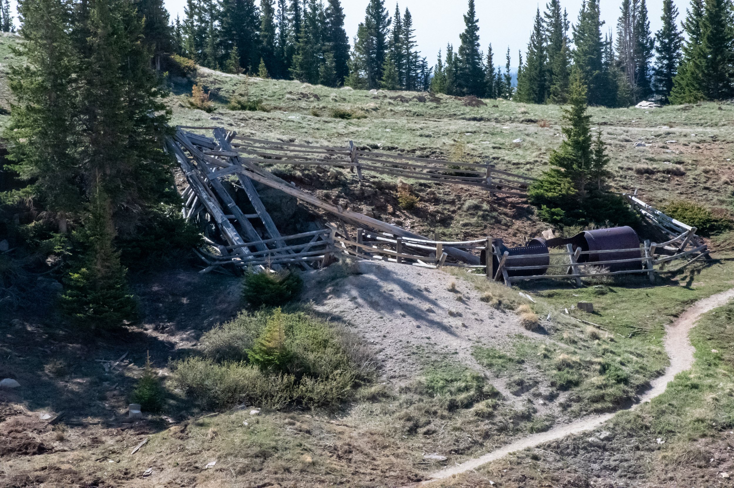
We headed higher into the Snowy Range and explored Miners Cabin Trail. Which is at a scenic overlook of the Mountain range. The trail loops from the miners cabin to the mine. Just under a mile it is the perfect place to stretch your legs and check out some history.
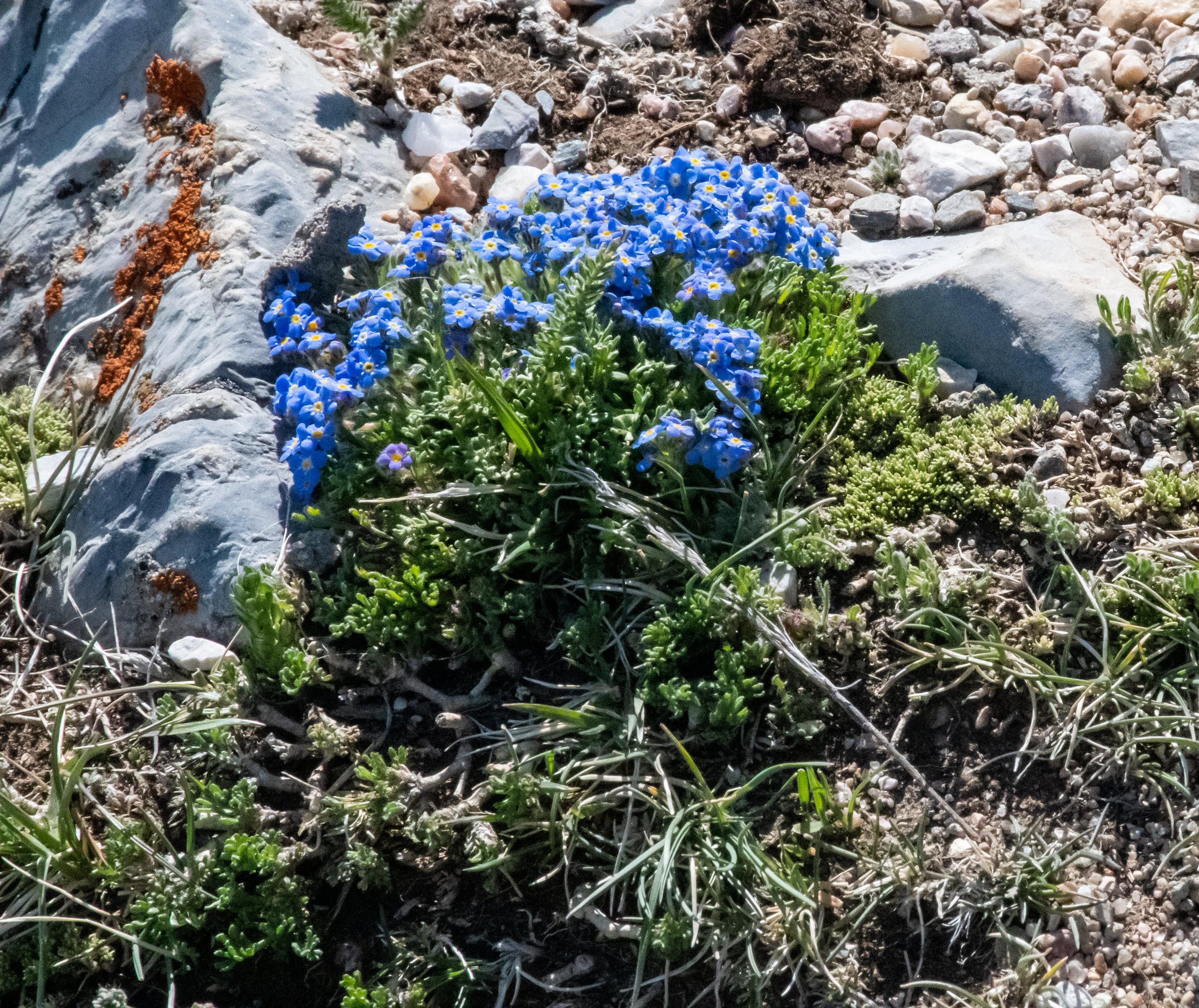
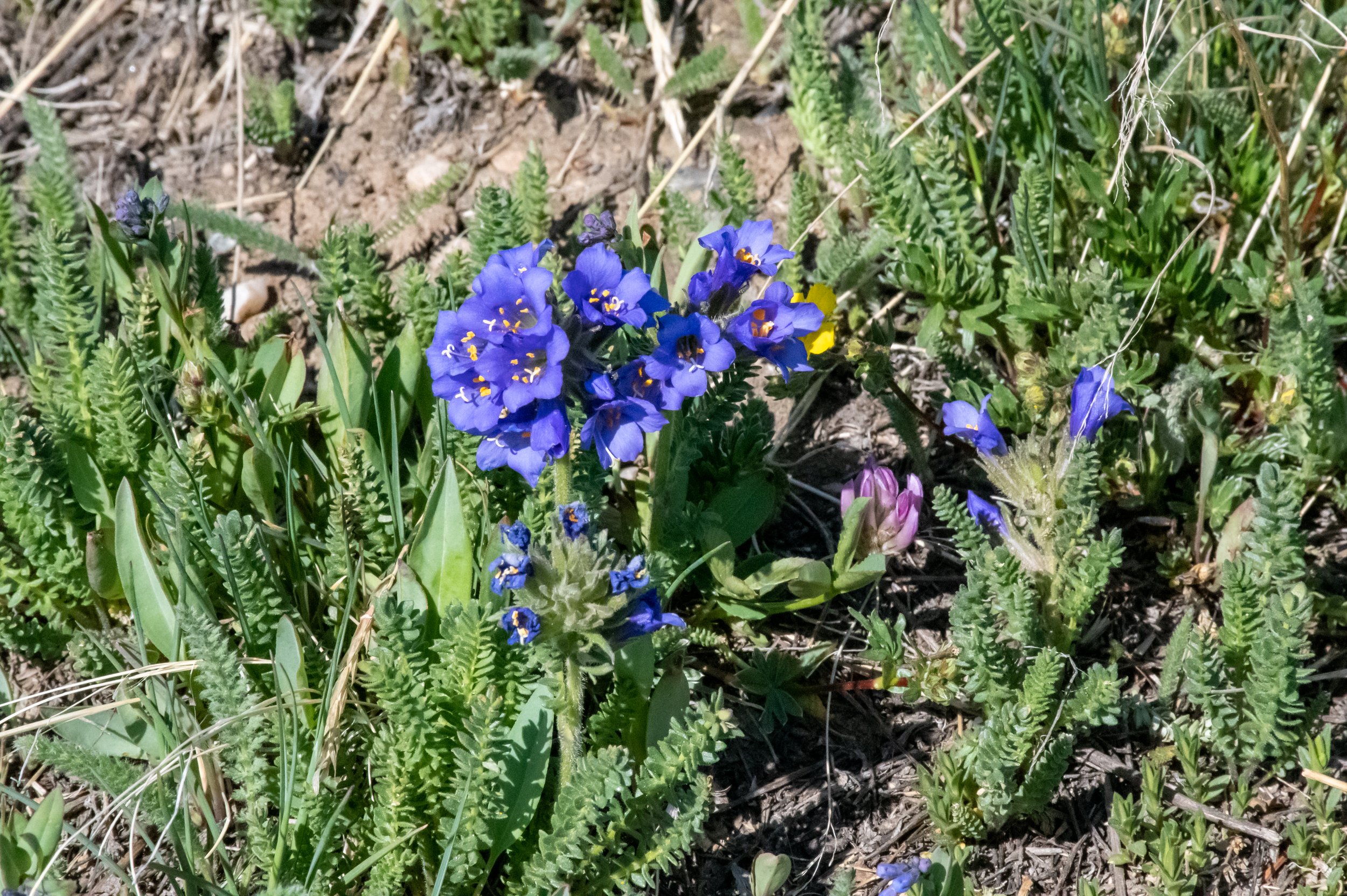
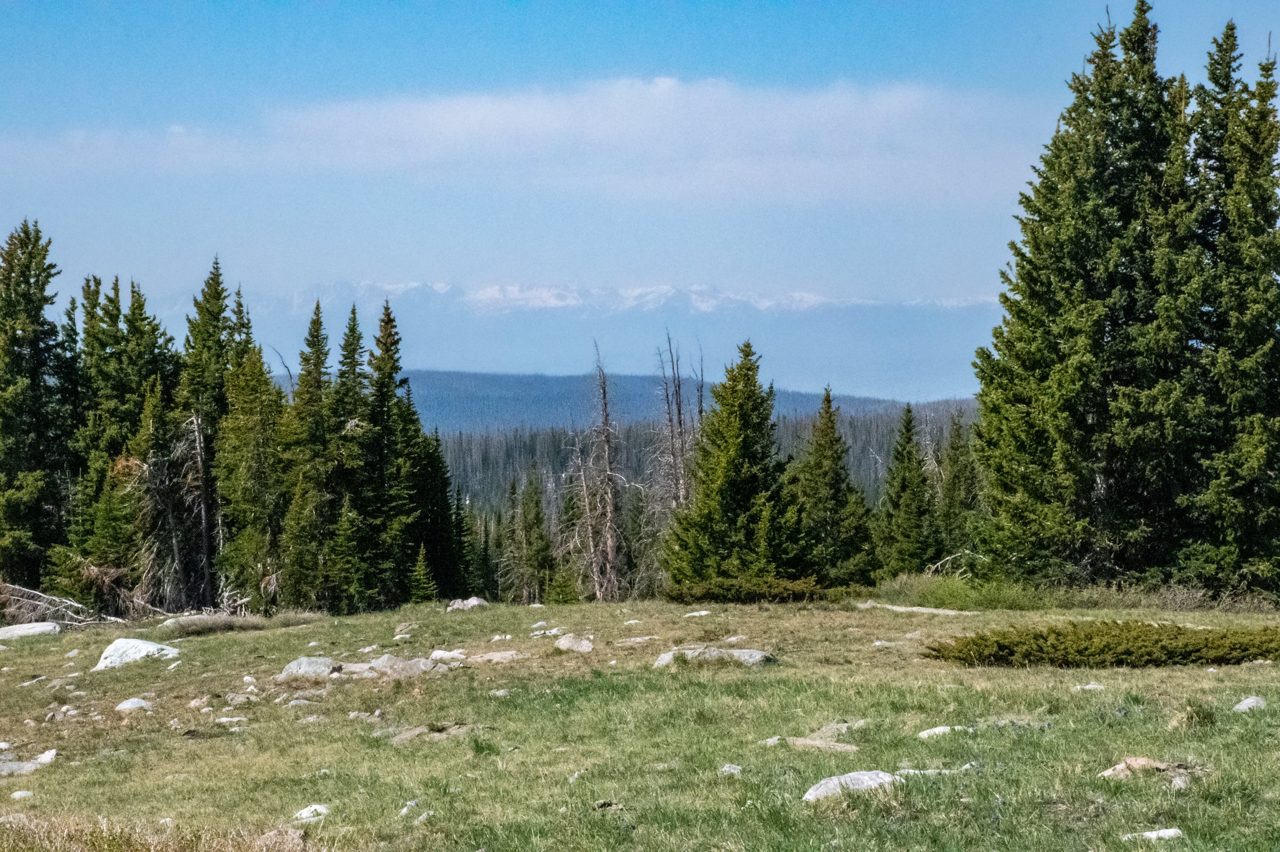
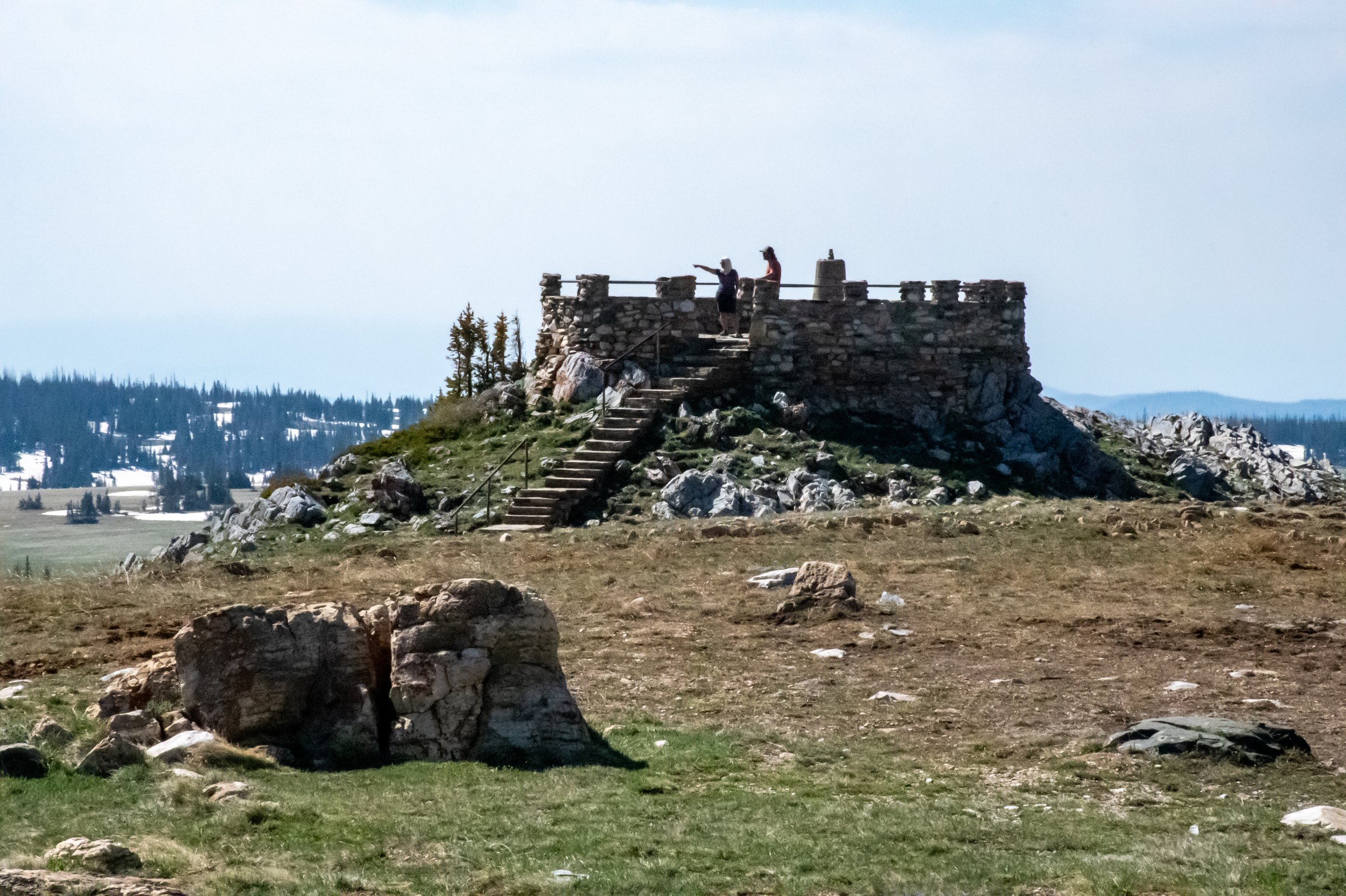
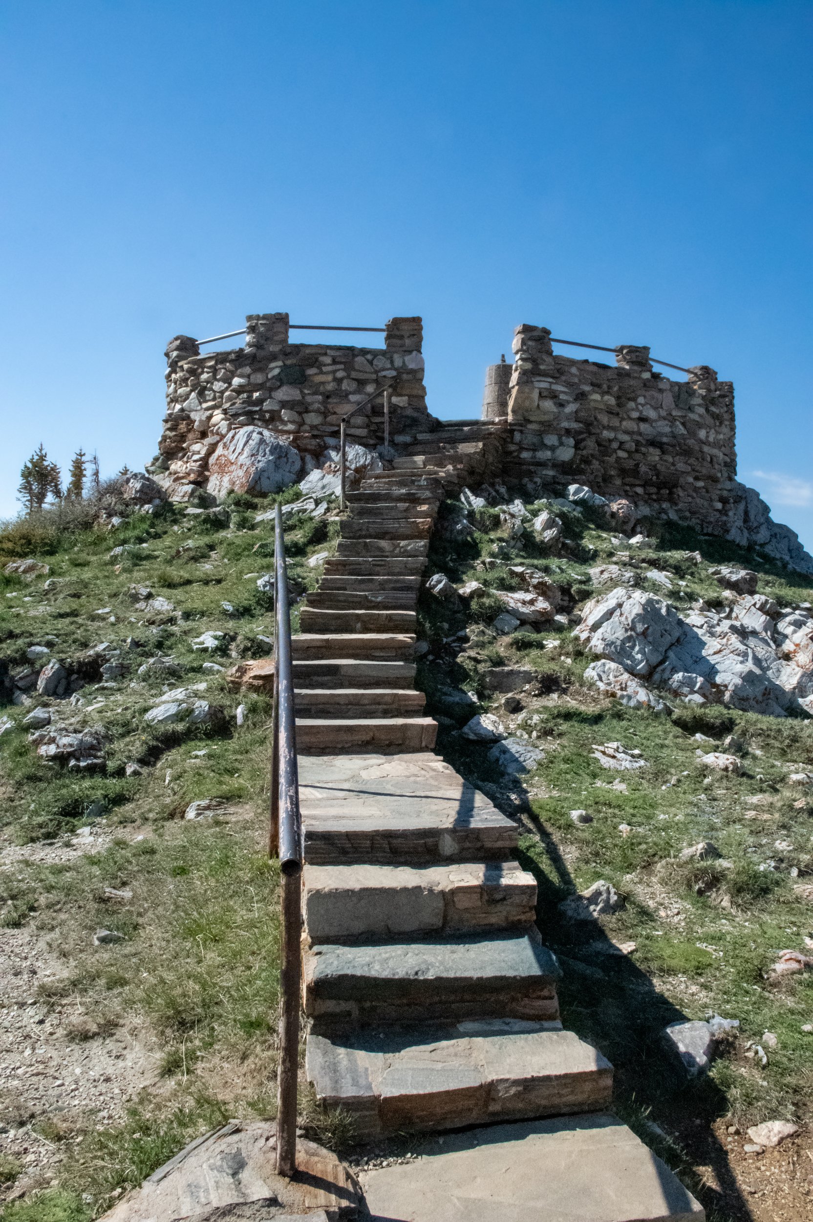
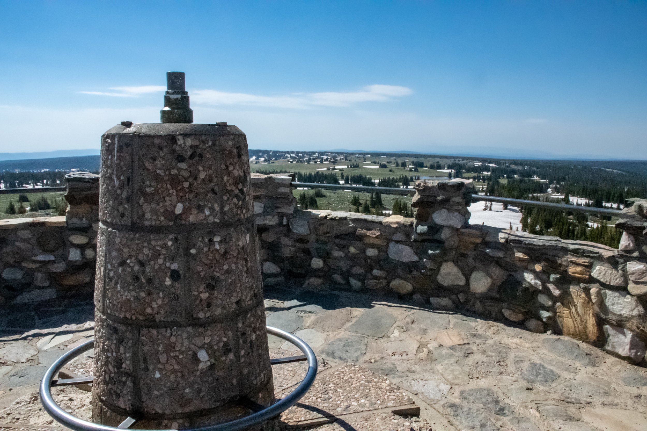
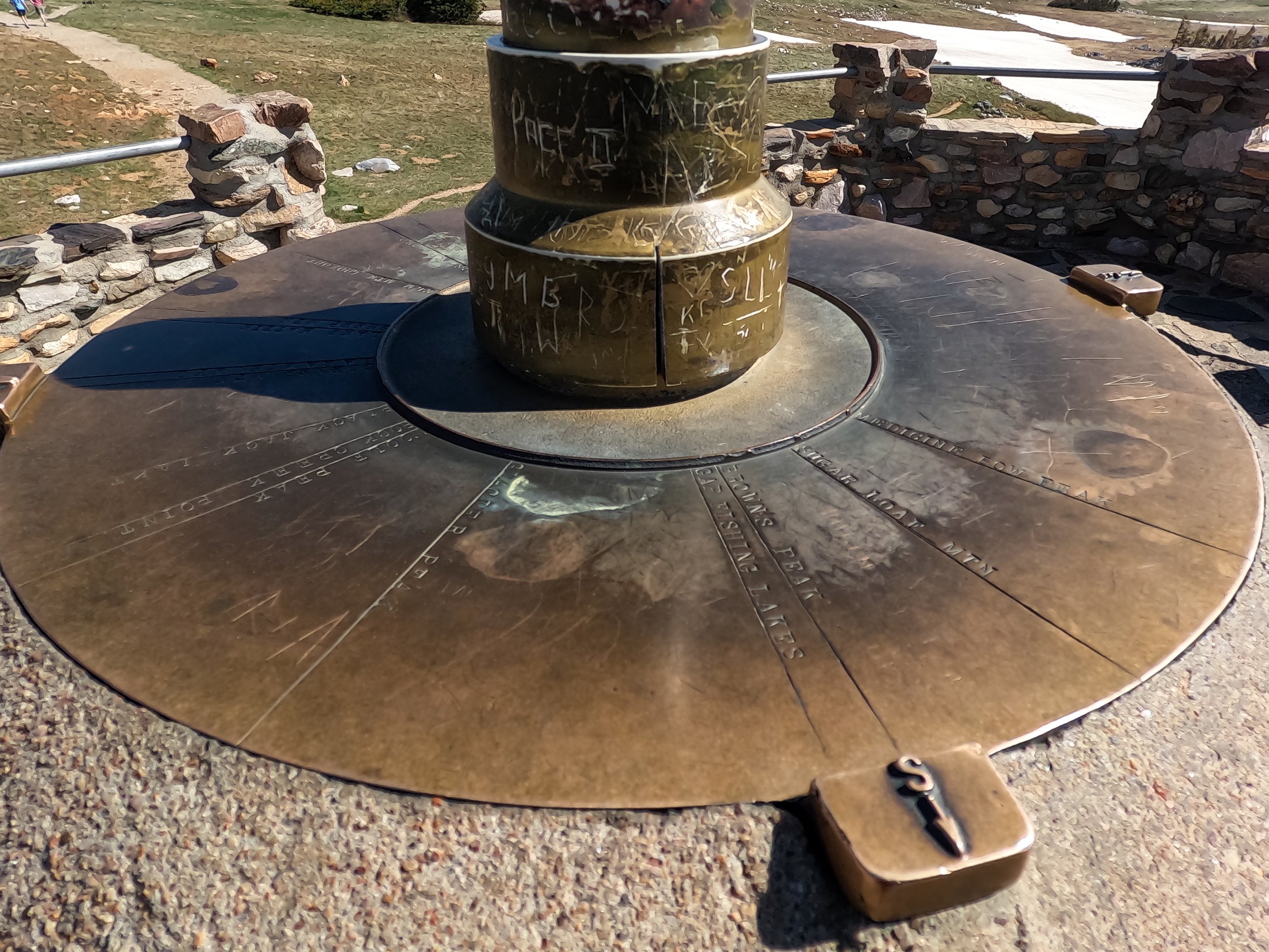
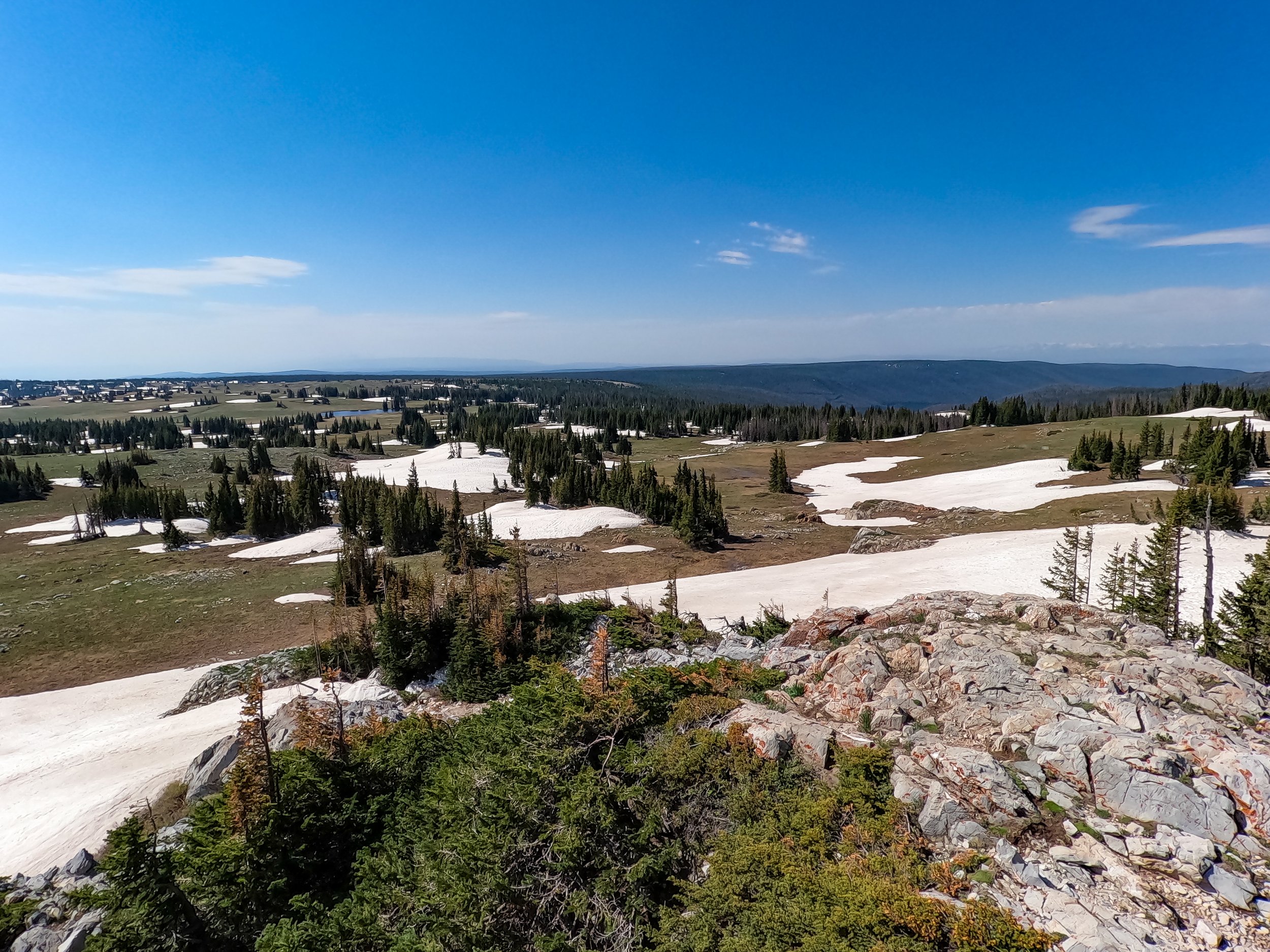
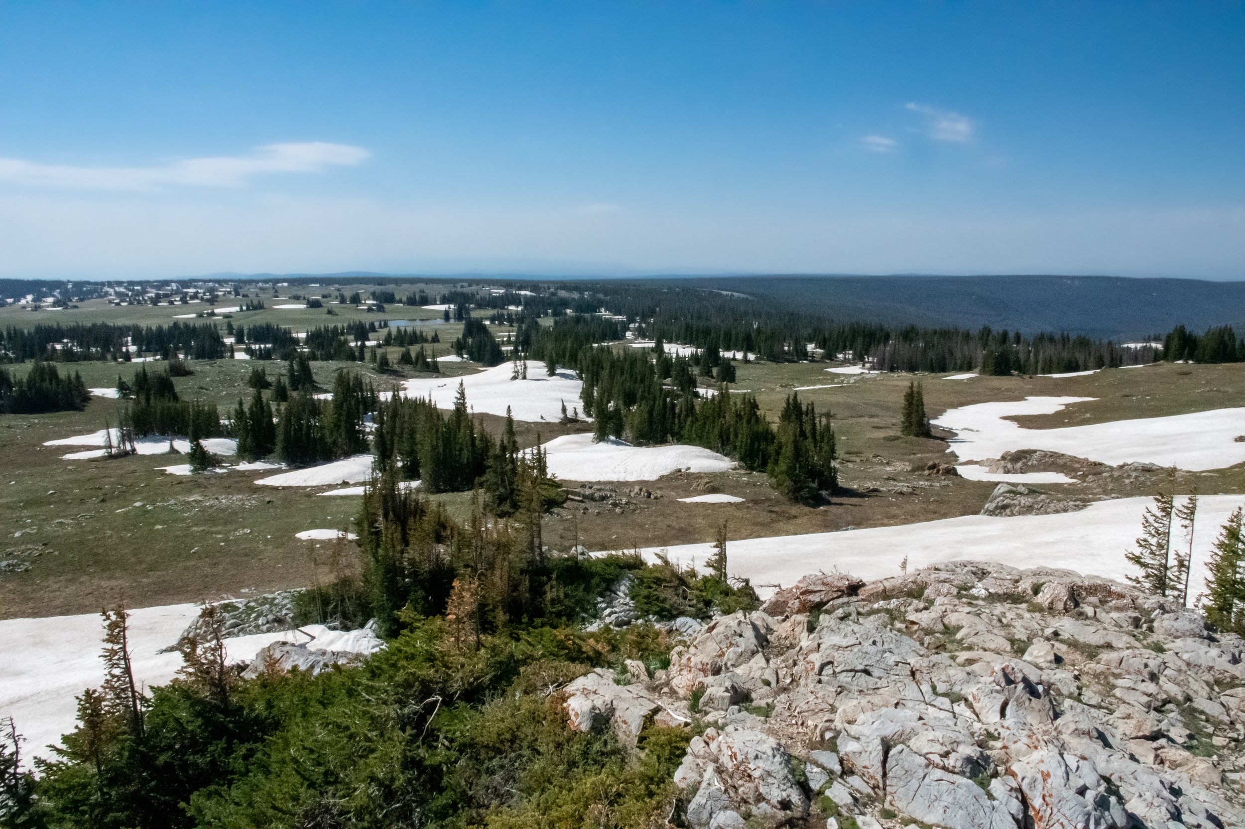
Our next overlook was Libby Flats Observation Area. This are really focuses on the vast views and the plants that grow in the high desert plains of the mountains. The most unique part is that I immediately thought the observation tower must have been made by the Civilian Conservation Corps (CCC), but it wasn’t. It was built using rocks in the area and meant to resemble the style of architecture used by the CCC.
The mountain range
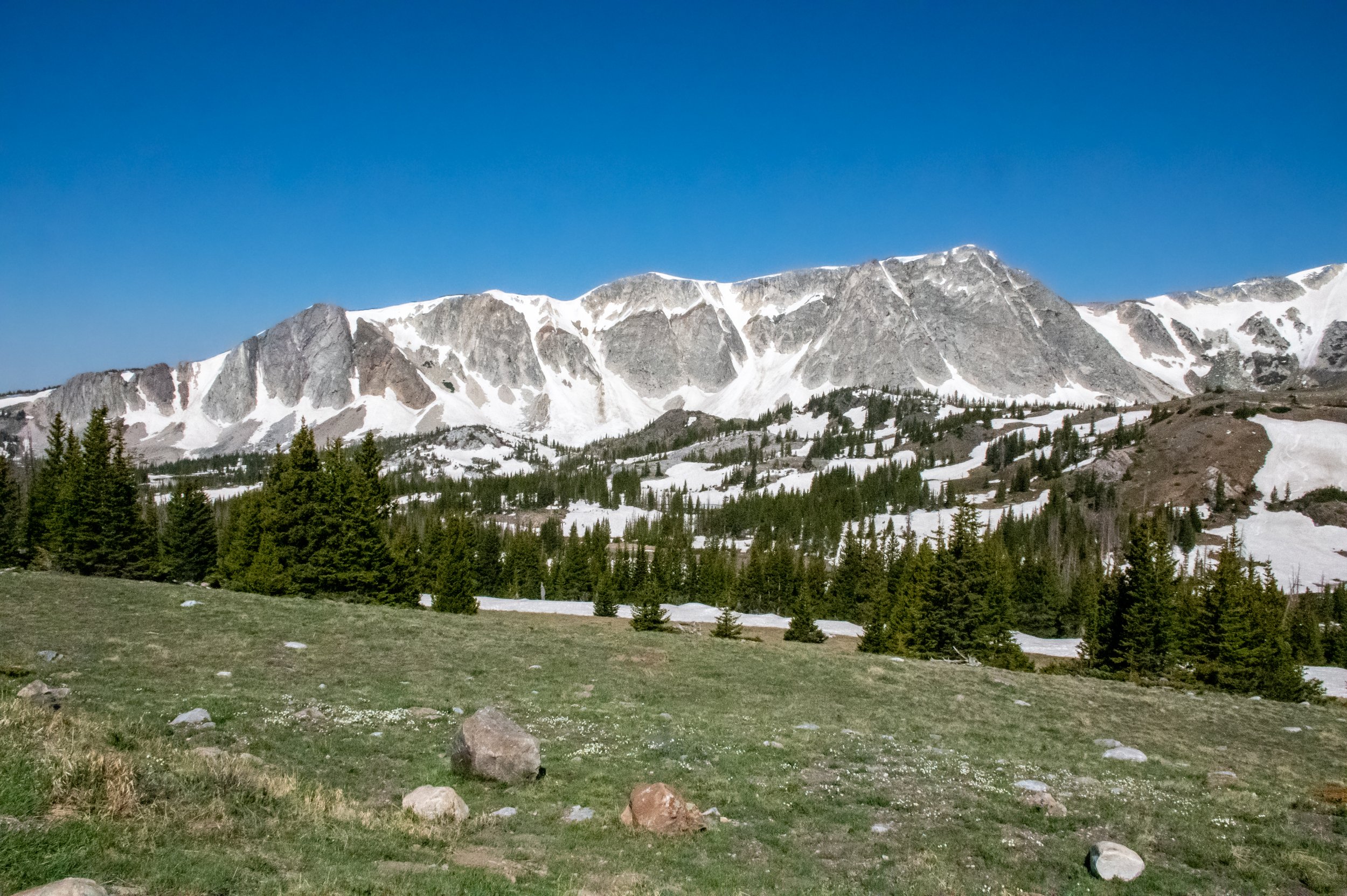
The mountain range is both impressive and easily identifiable. The rise up behind the lakes and across our views with impressive scale. The rocky faces showcasing that they are indeed a part of the Rocky Mountains and are
Medicine Bow Snowy Range Mountains and Their Elevations
Schoolhouse Rock with an elevation of 11,440’;
The Diamond at an elevation of 11,720';
Old Man is an elevation of 11,755’;
Medicine Bow Peak at an elevation of 12, 013’;
Sugarloaf Mountain at 11,398’.
Hit the road!
Get out and explore. We had a blast in this area and plan to come back to camp. This area can be easy by using the walking trails or a good hike and you can even head backcountry. Just get out there and have fun. Be sure to share your experience with us! Tag us, @LiveWYldMag and use #LiveWYld


